Historic Maps of Salida, the Denver & Rio Grande Railroad, & Colorado
The Sanborn Fire Insurance Maps were detailed maps of Salida from the years 1883 through 1914: historical maps of neighborhoods, detailed at the block and building level, showing residential, commercial, and industrial uses of site, building footprints, potential environmental hazards, and construction details of structures.
Bird’s Eye View map of the Denver & Rio Grande Grande Railroad yards in Salida, Colorado, dated ca. 1950. Permission gratefully received to reproduce this map from the Rio Grande Modeling & Historical Society
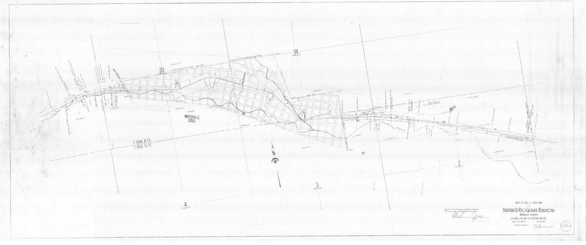
Bird’s Eye View map of the Monarch branch of the Denver & Rio Grande Railroad
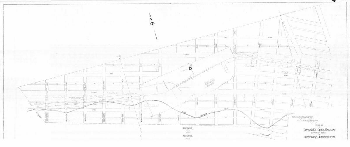
Bird’s Eye View map of the Maysville branch of the Denver & Rio Grande Railroad
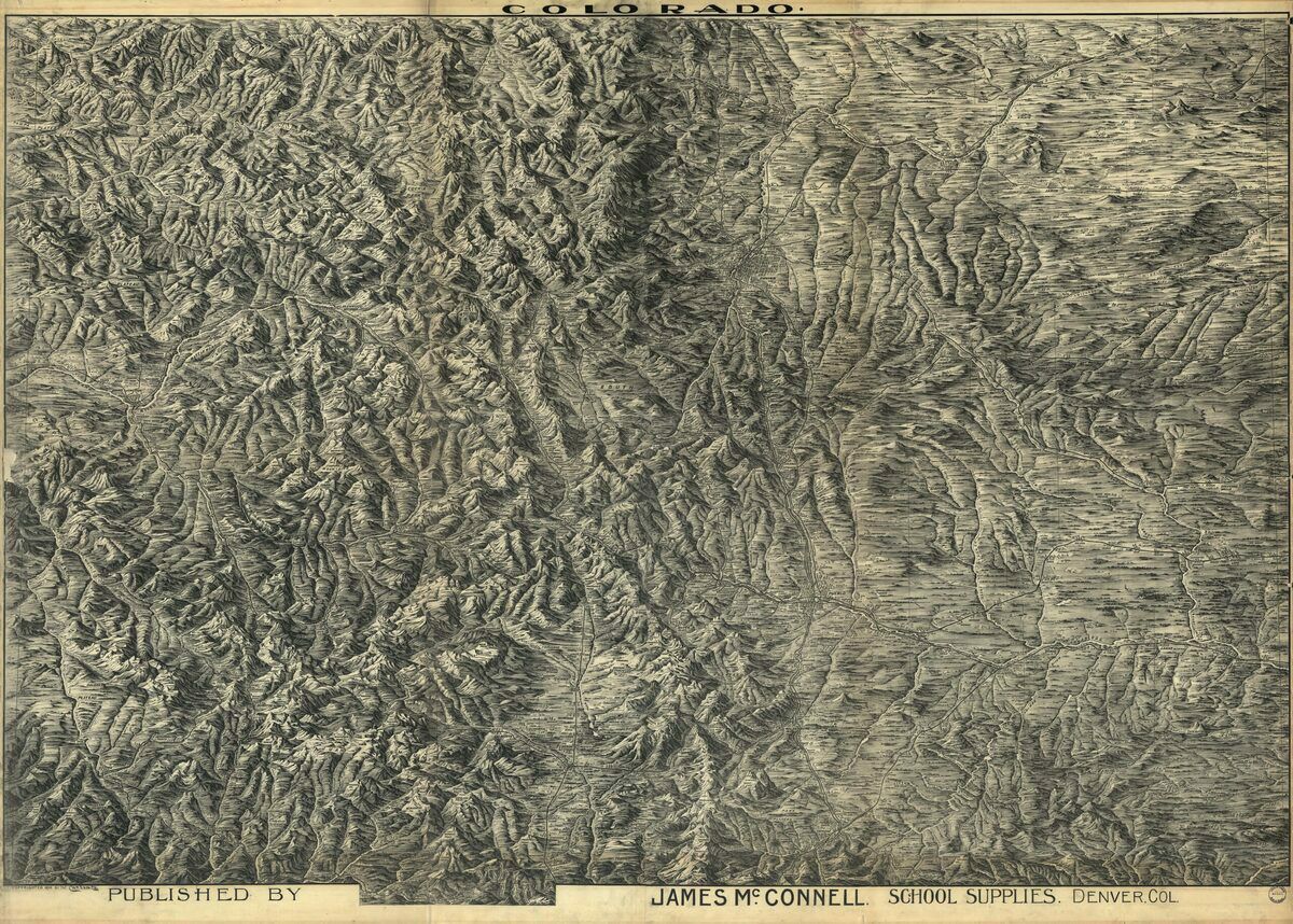
James McConnell’s School Supplies Map

