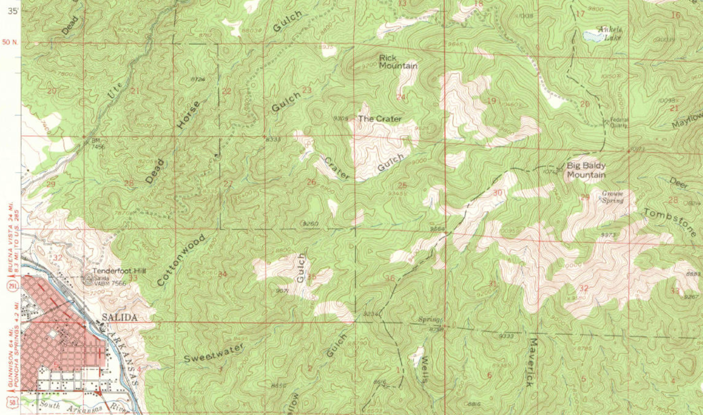
Salida is represented as the center of a circle 30 miles in diameter. The great Cameron-Turret district lies north and east of Salida. Whitehorn, the principal town is 17 miles distant by road; Turret, at the foot of Turret Mountain, is 15 miles distant. A branch of the rio Grande road penetrates the district to Calumet. The famous mining camps – St. Elmo, Monarch, and Garfield – lie north and west. A continous belt rich in gold, silver, lead, and copper extends from Mount Ouray in a semi-circle to the Arkansas River, including the Pass Creek and Bear Creek districts. The Longfellow district lies southeast of Salida. The Sedalia Copper Mine lies north. Poncha and Wellsville Hot Springs will also be seen. The Arkansas and San Luis Valleys are world-famous for agricultures. The surrounding hills afford rich grazing. — Salida Mail, January 4, 1898
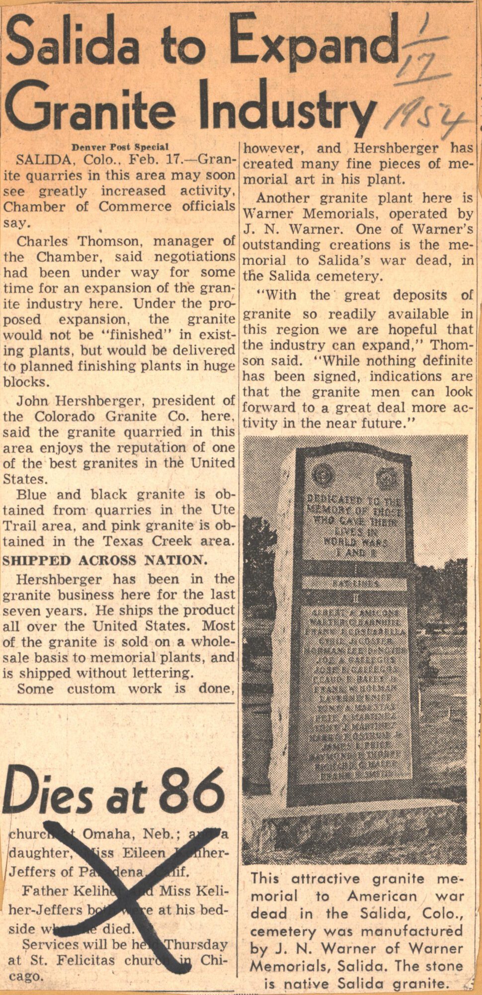
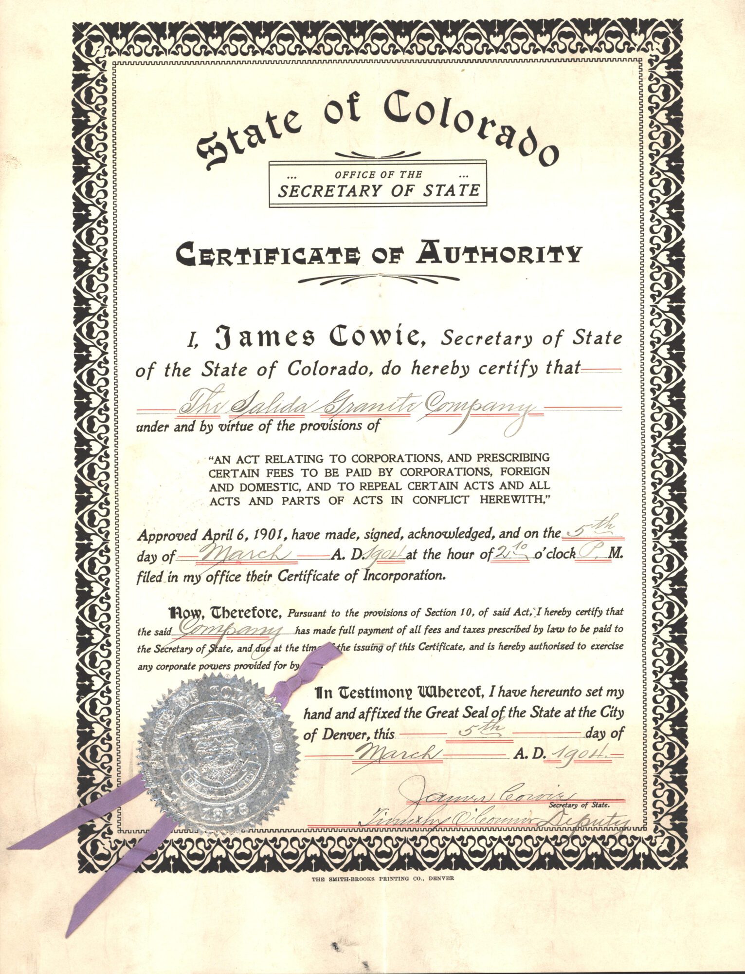
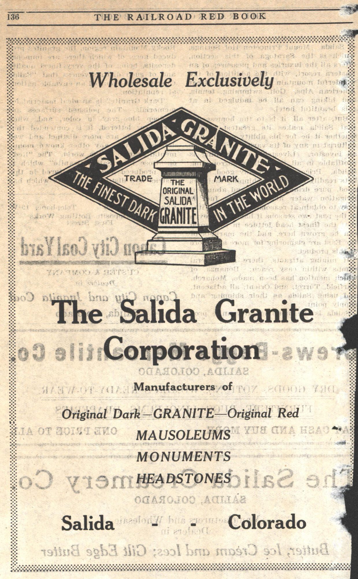
Historian Dick Dixon wrote a three-part series for Colorado Central in the late 1990s about the Turret Mining District and the Salida Granite Company:
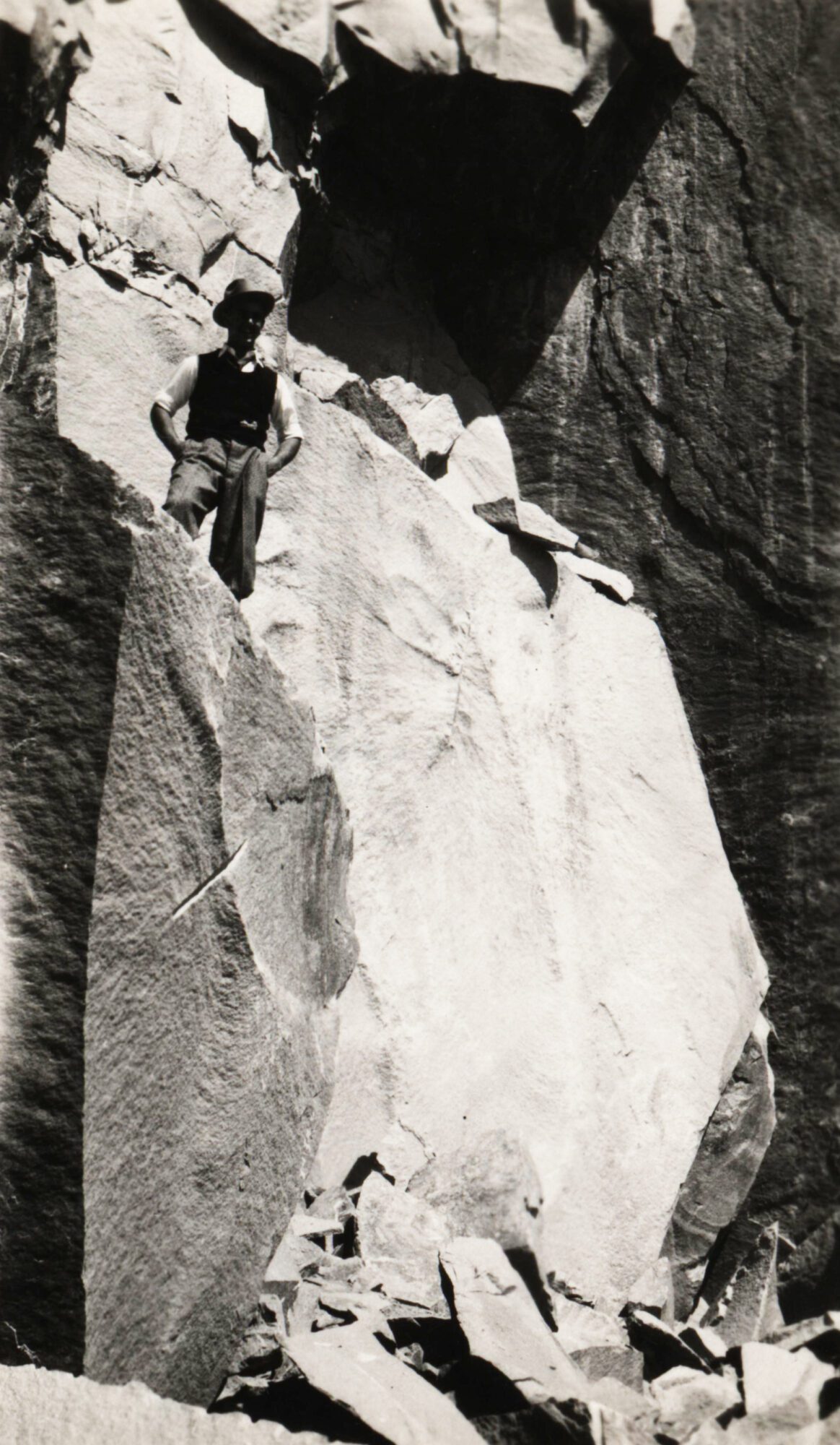
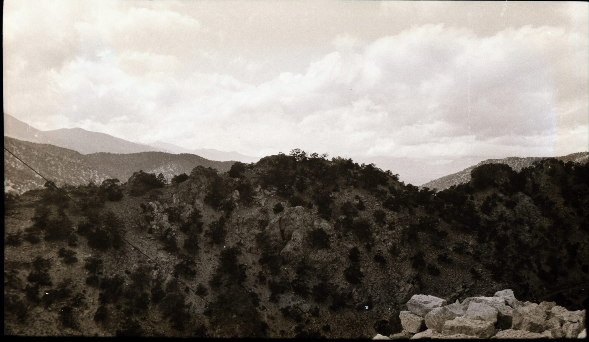
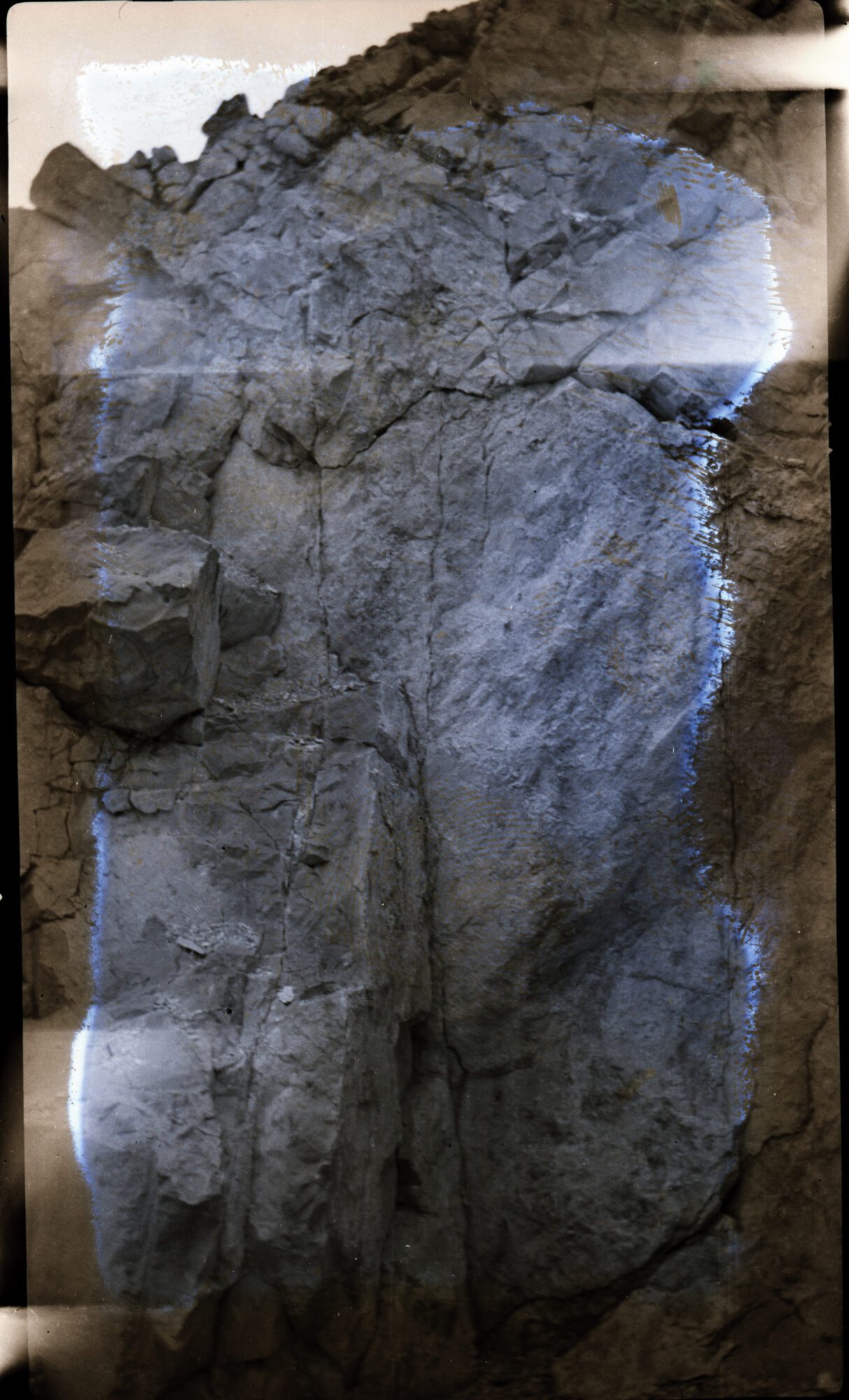
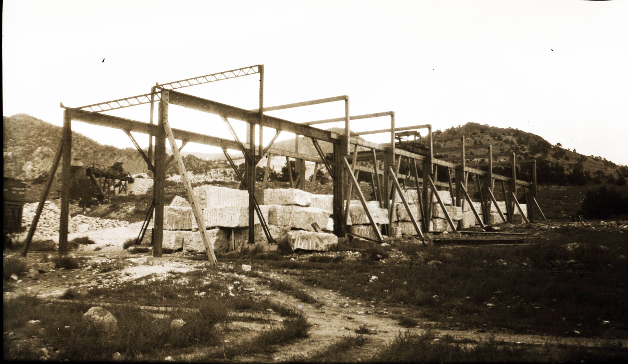
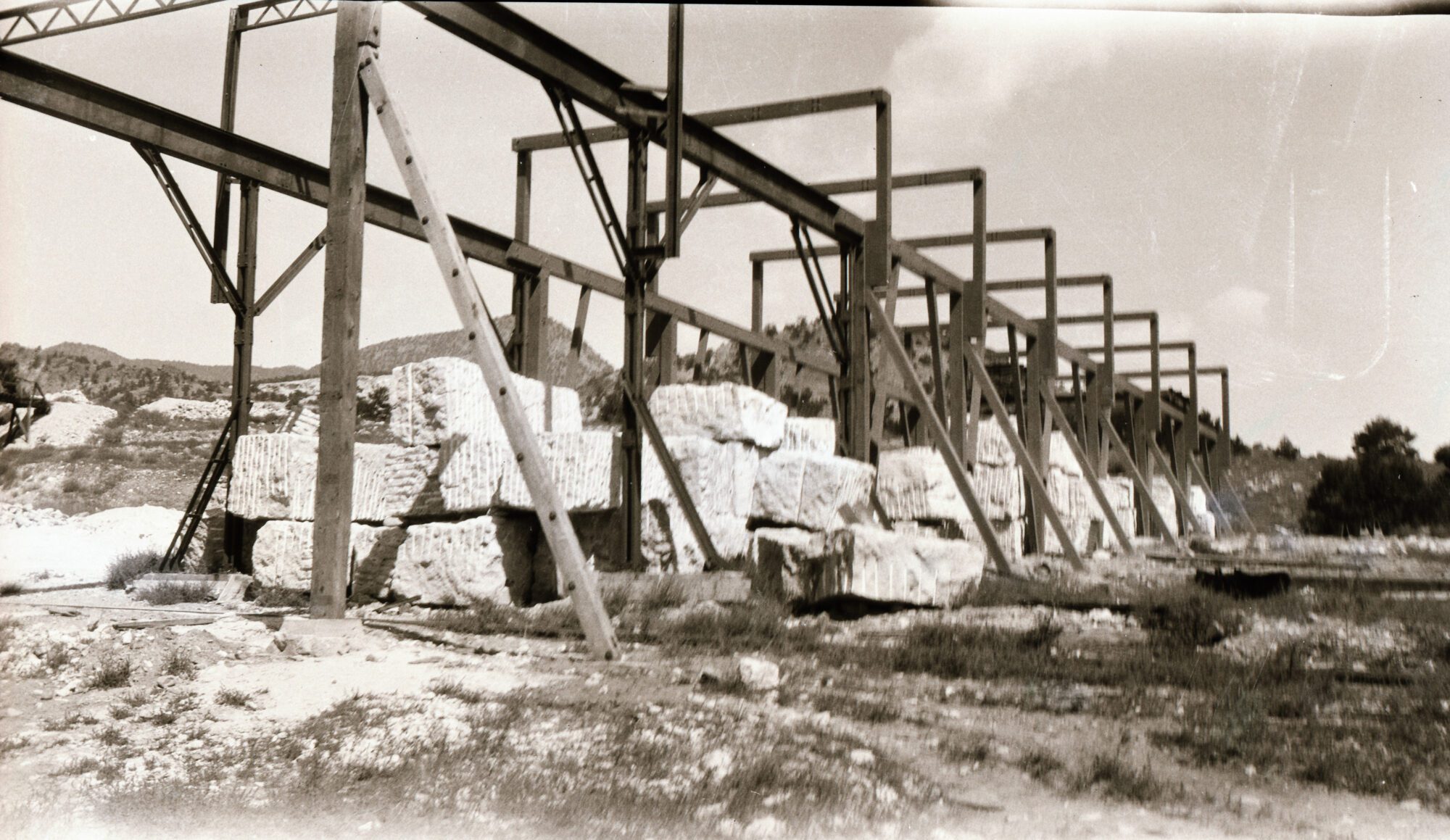
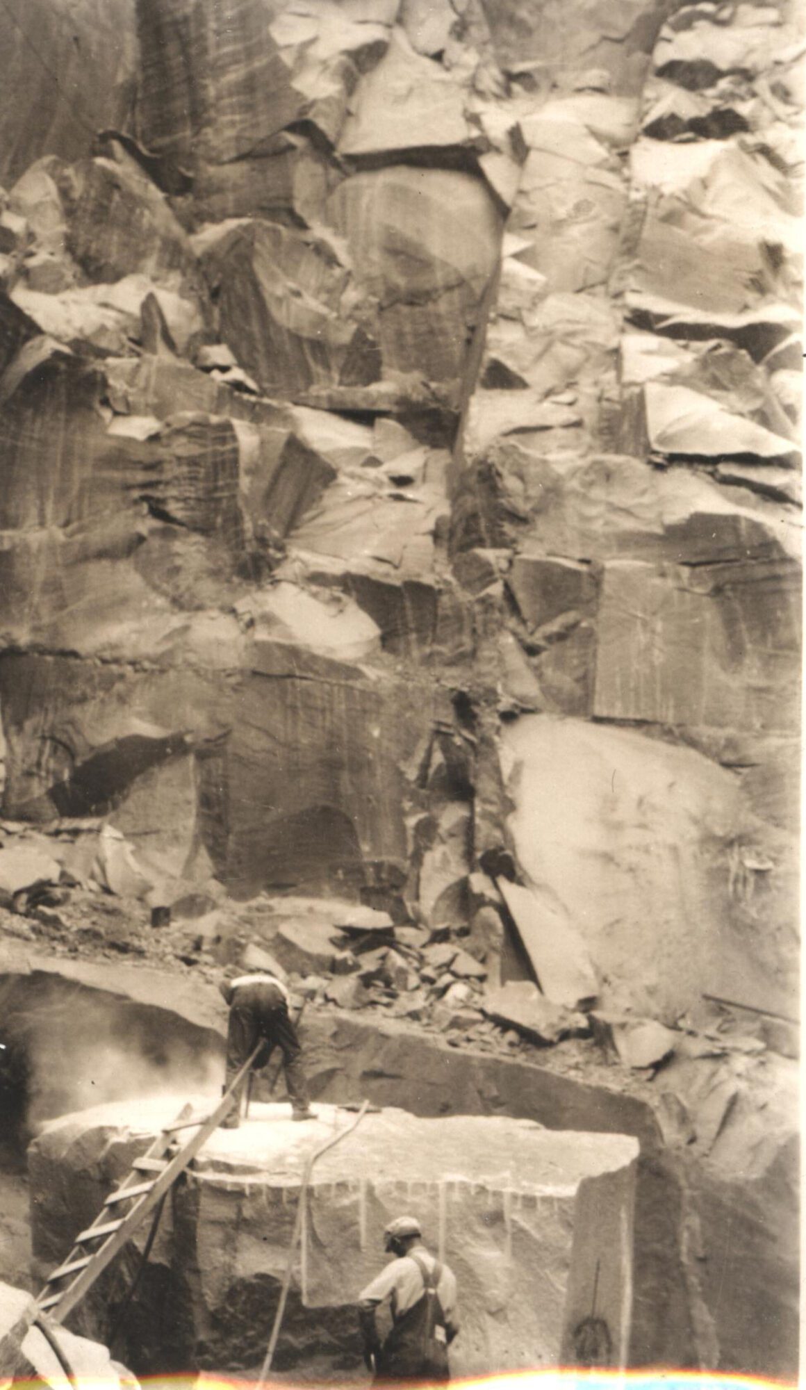
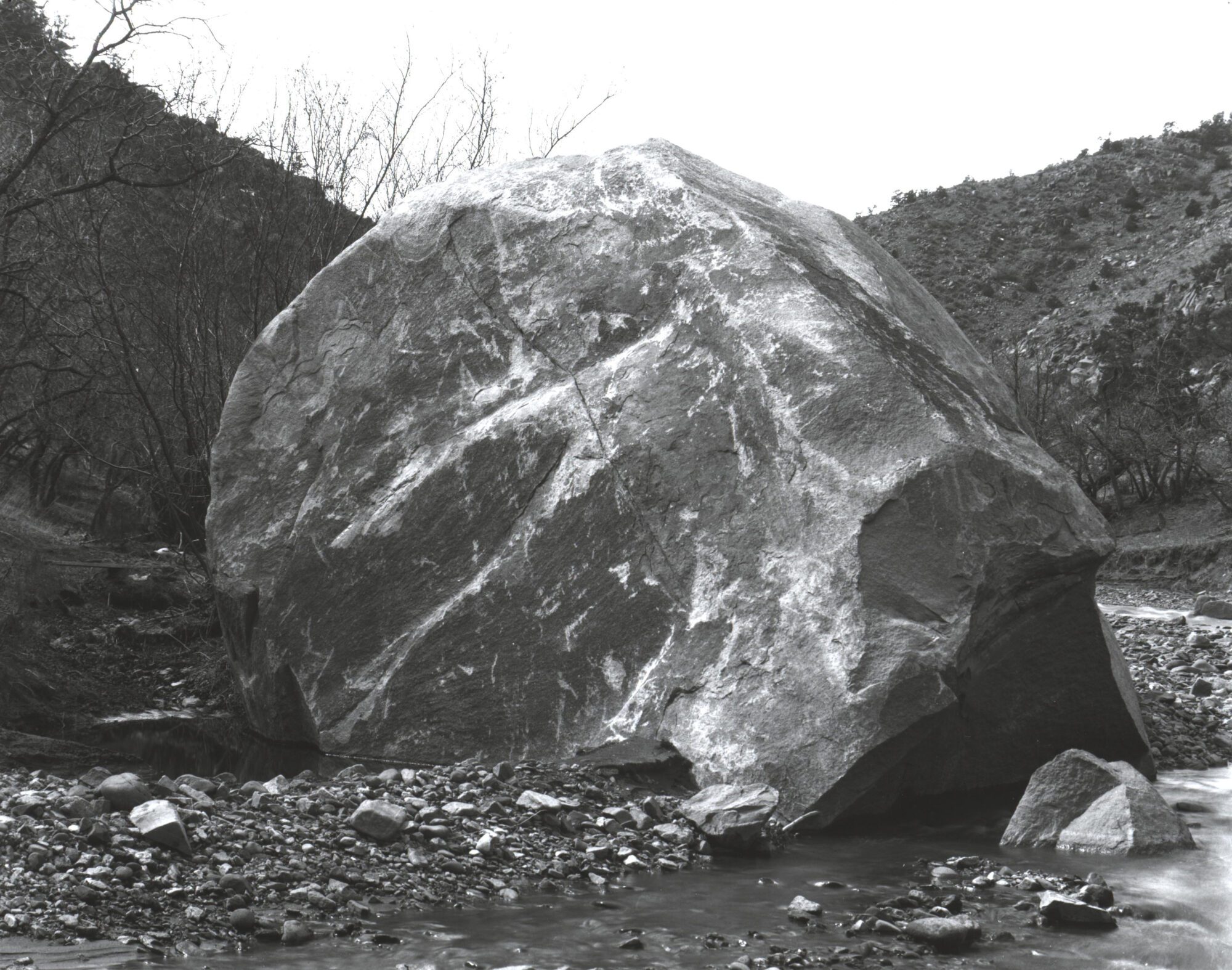
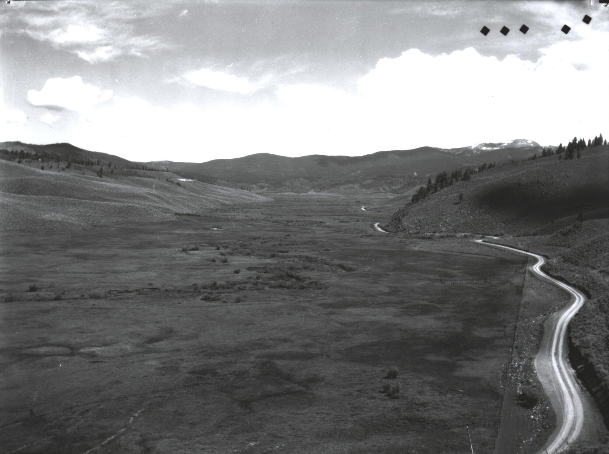
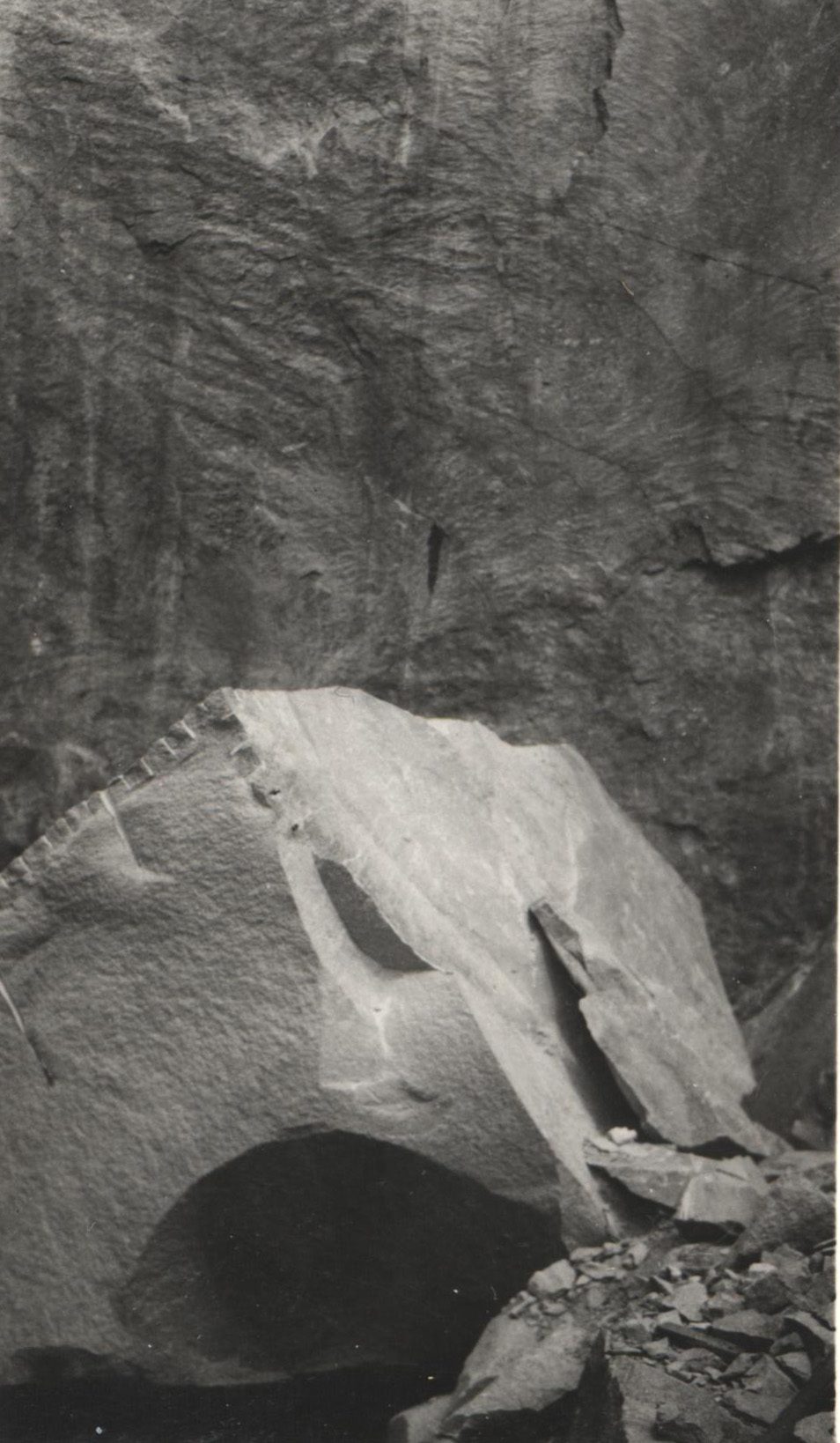
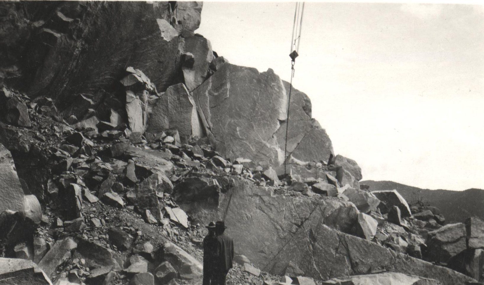
The following images are from the Jimmy Blouch Collection. They include a Salida Granite survey with an essay by E.M. Lightburn.
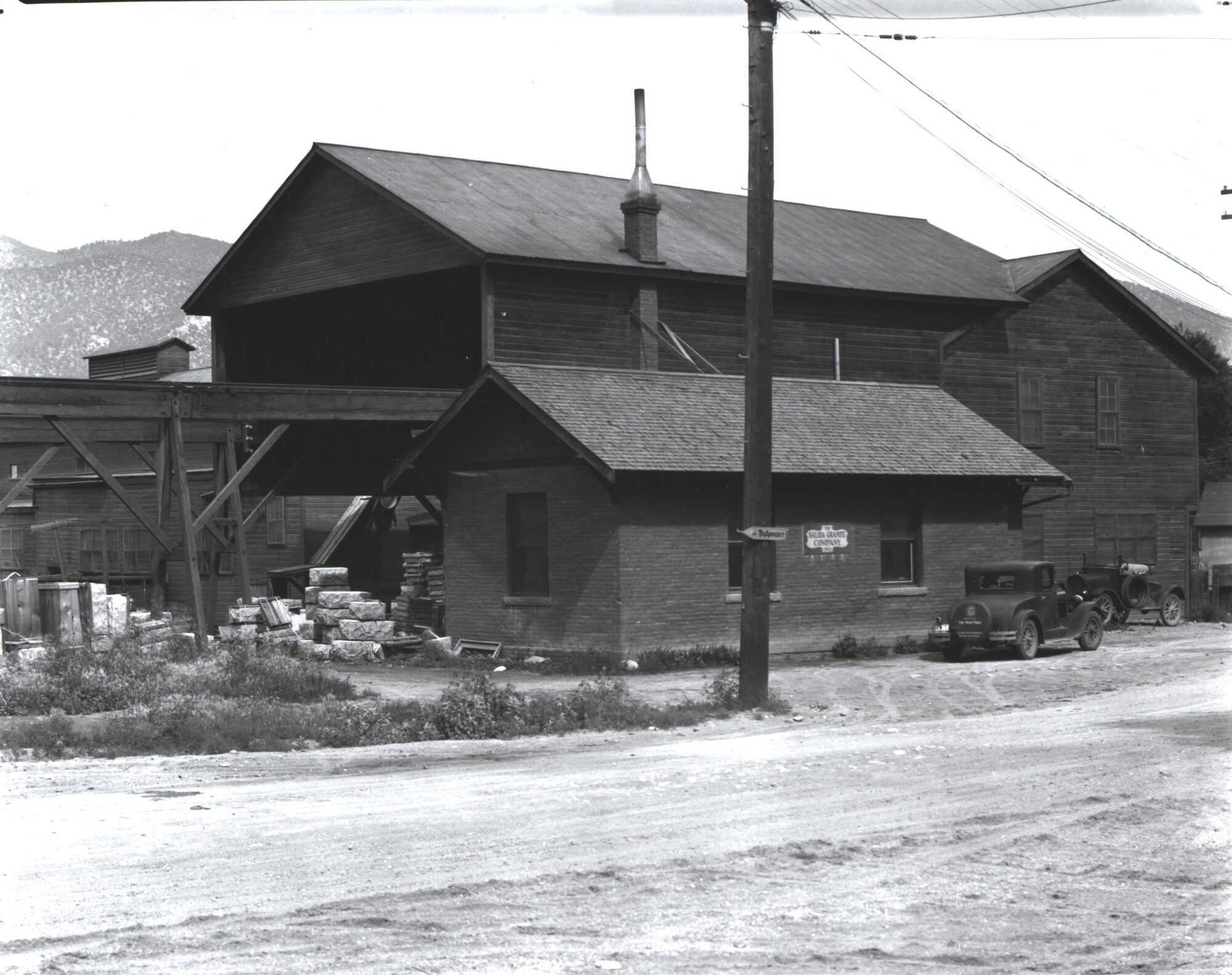
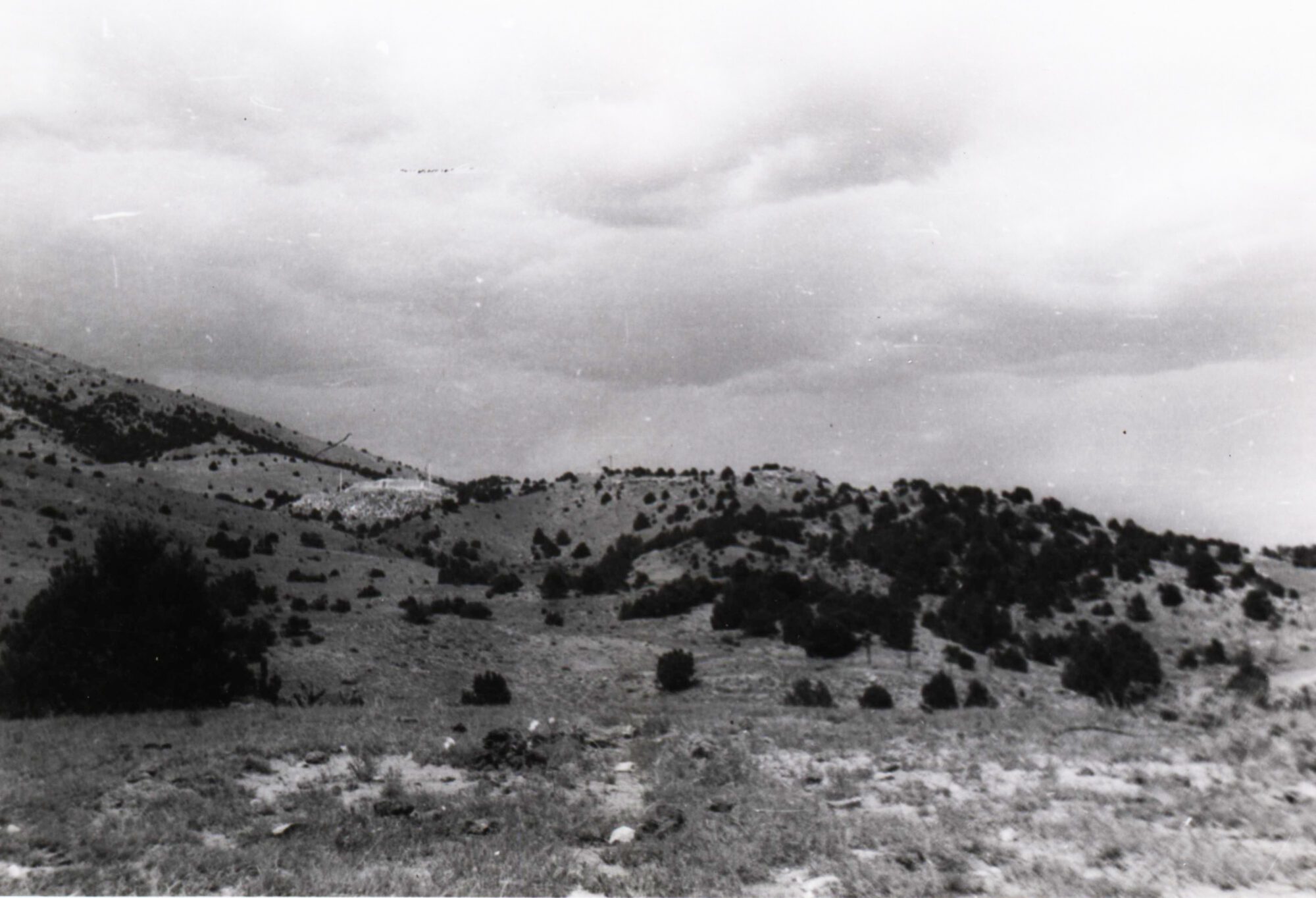
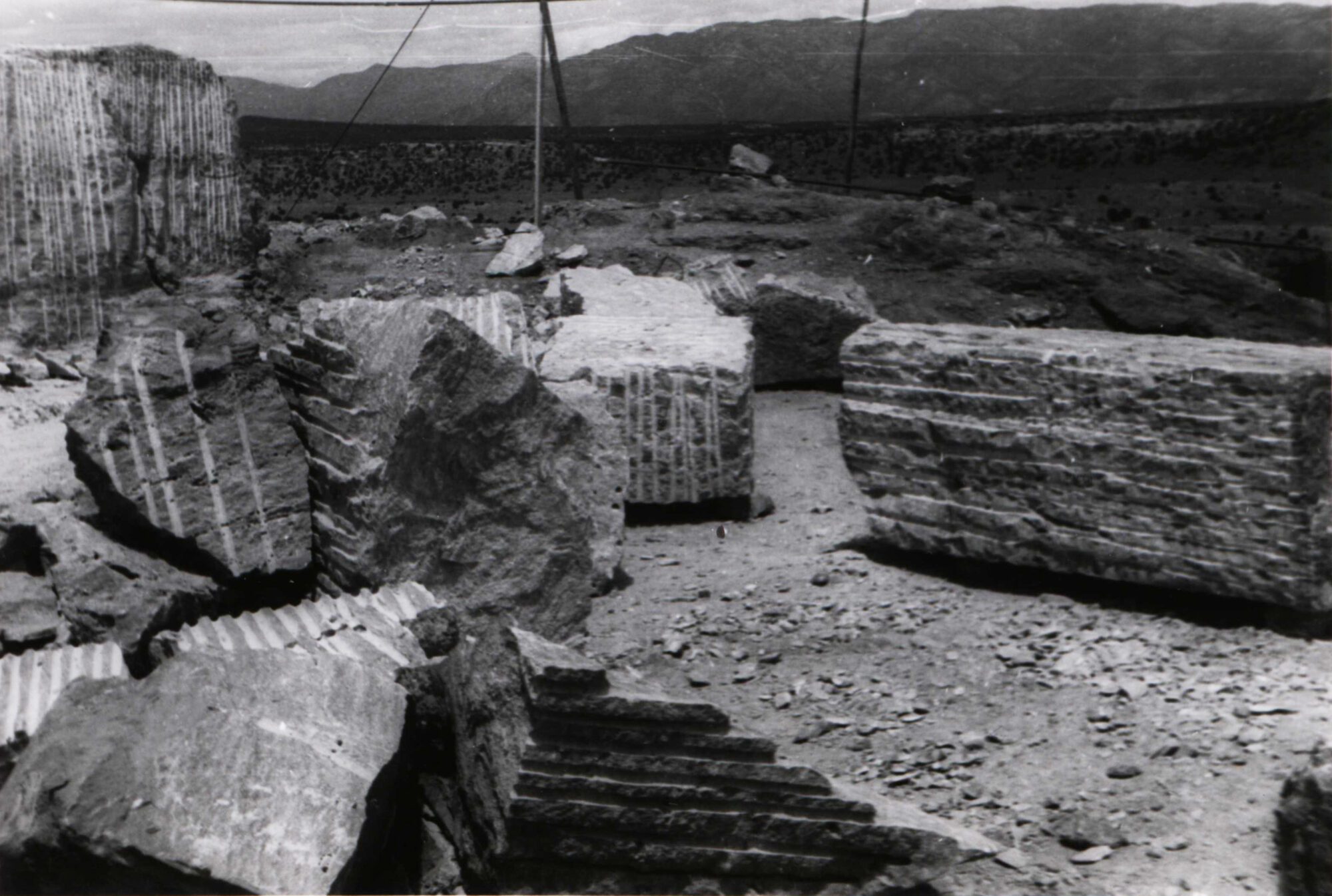
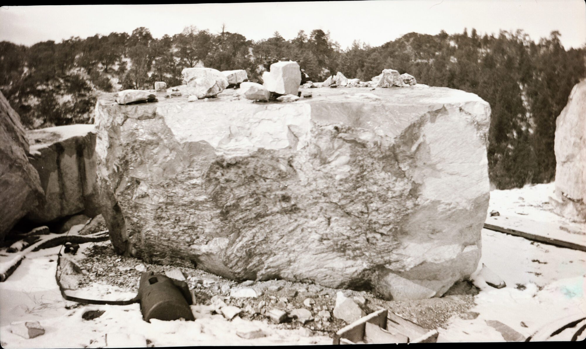
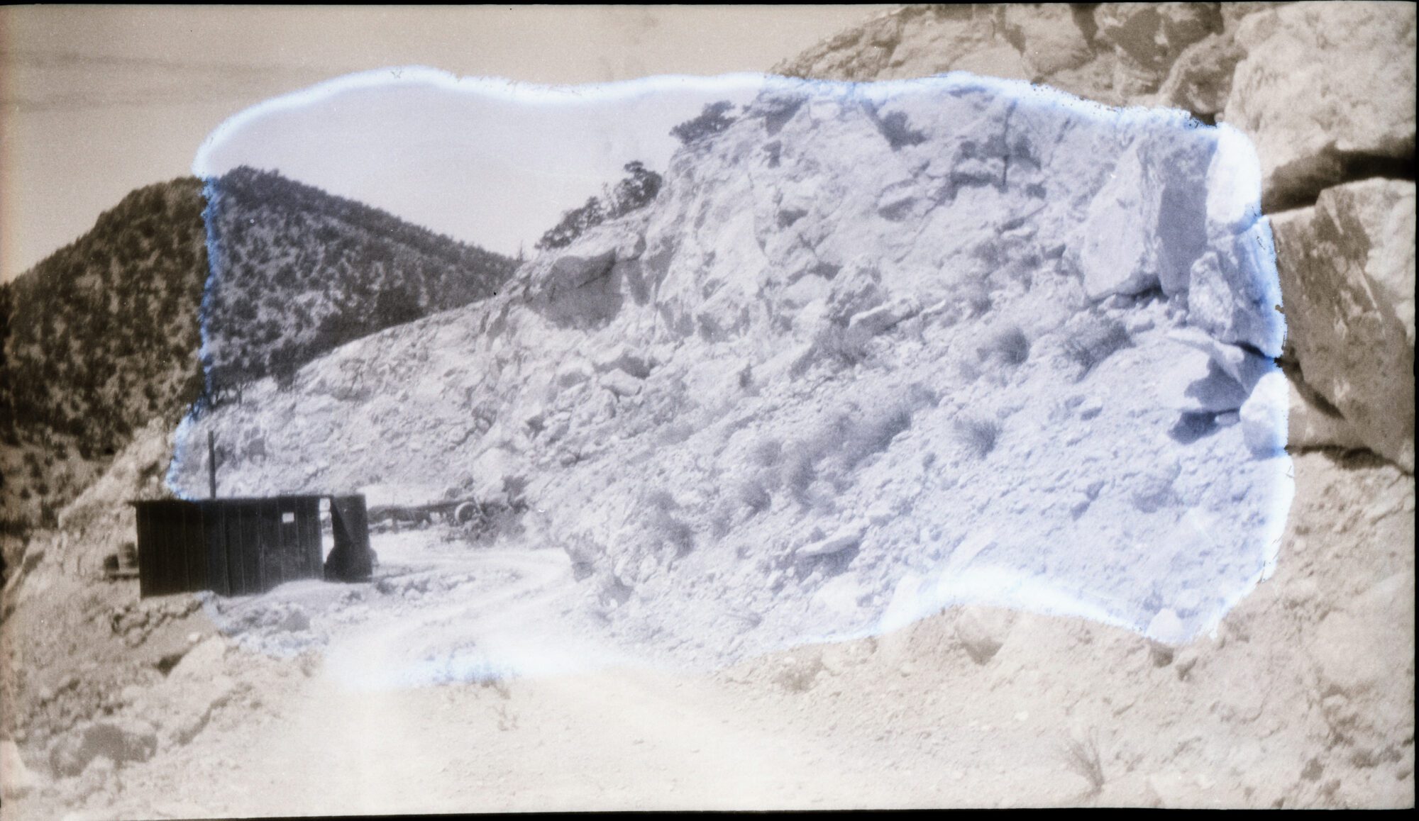
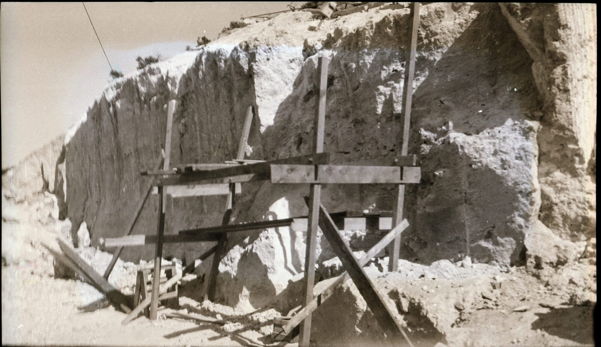
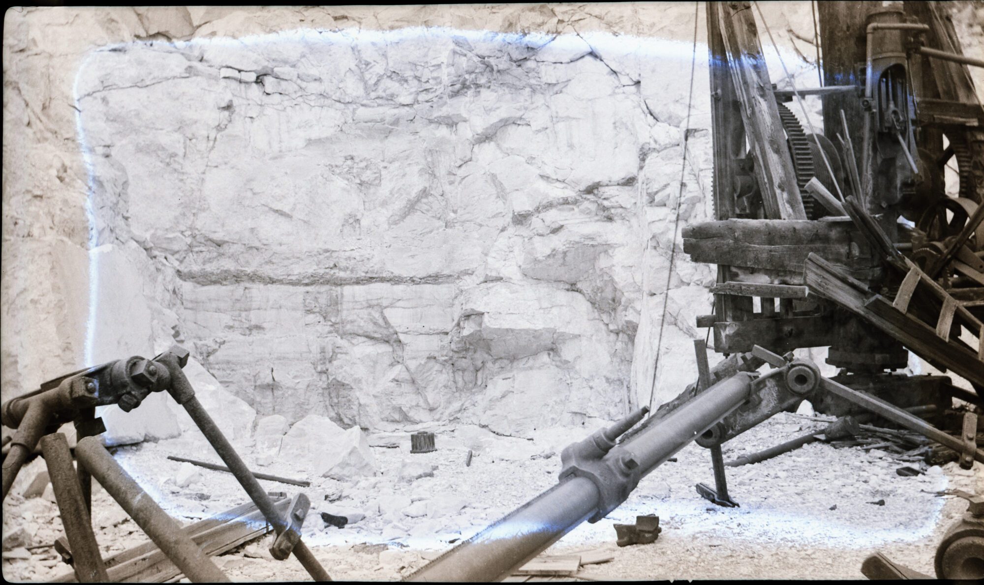
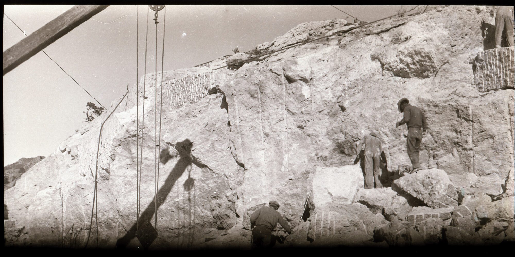
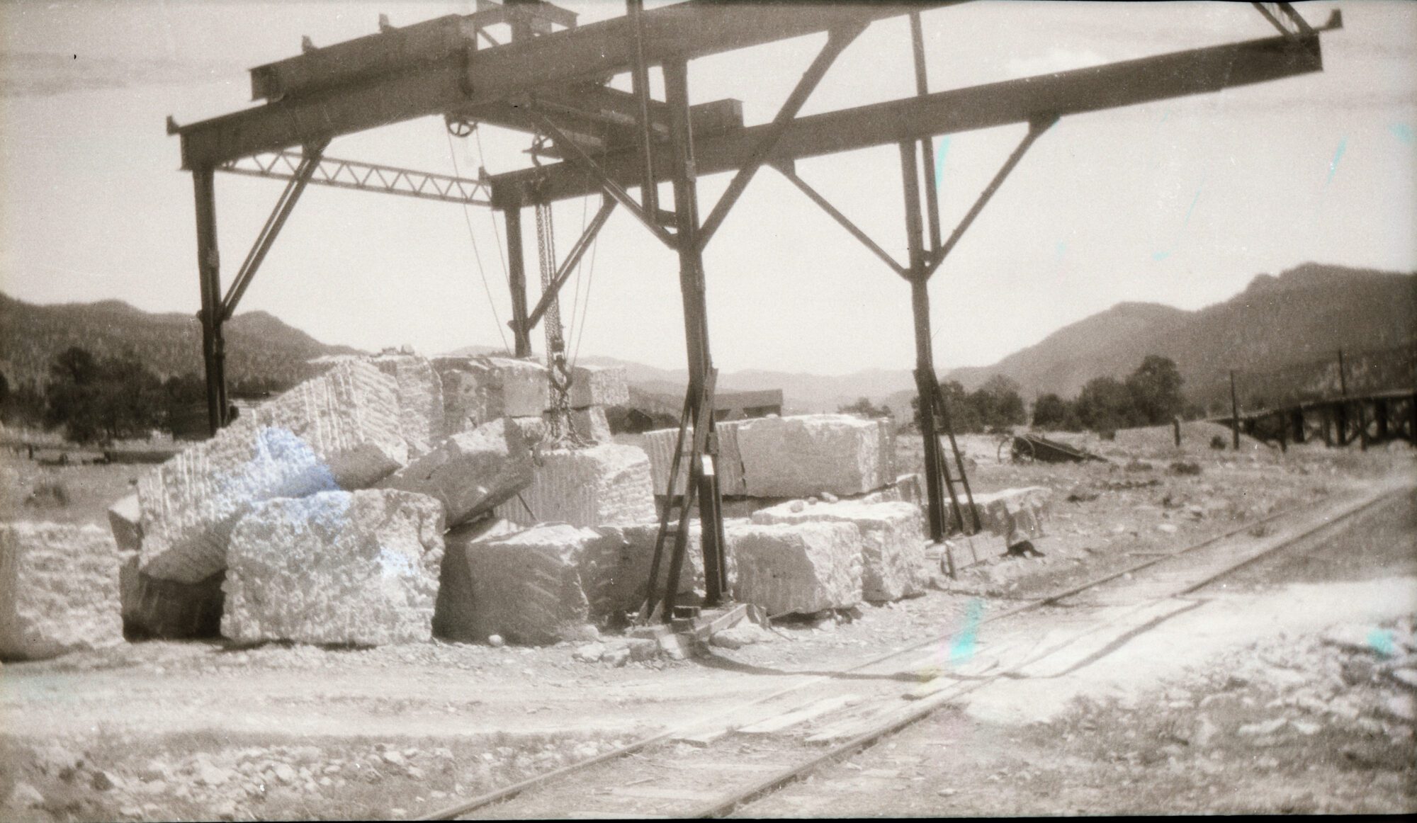
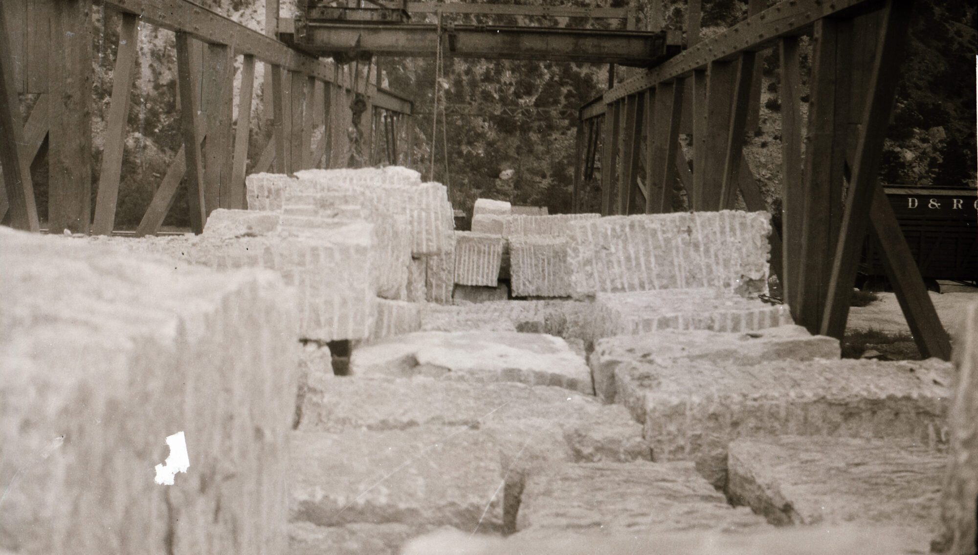
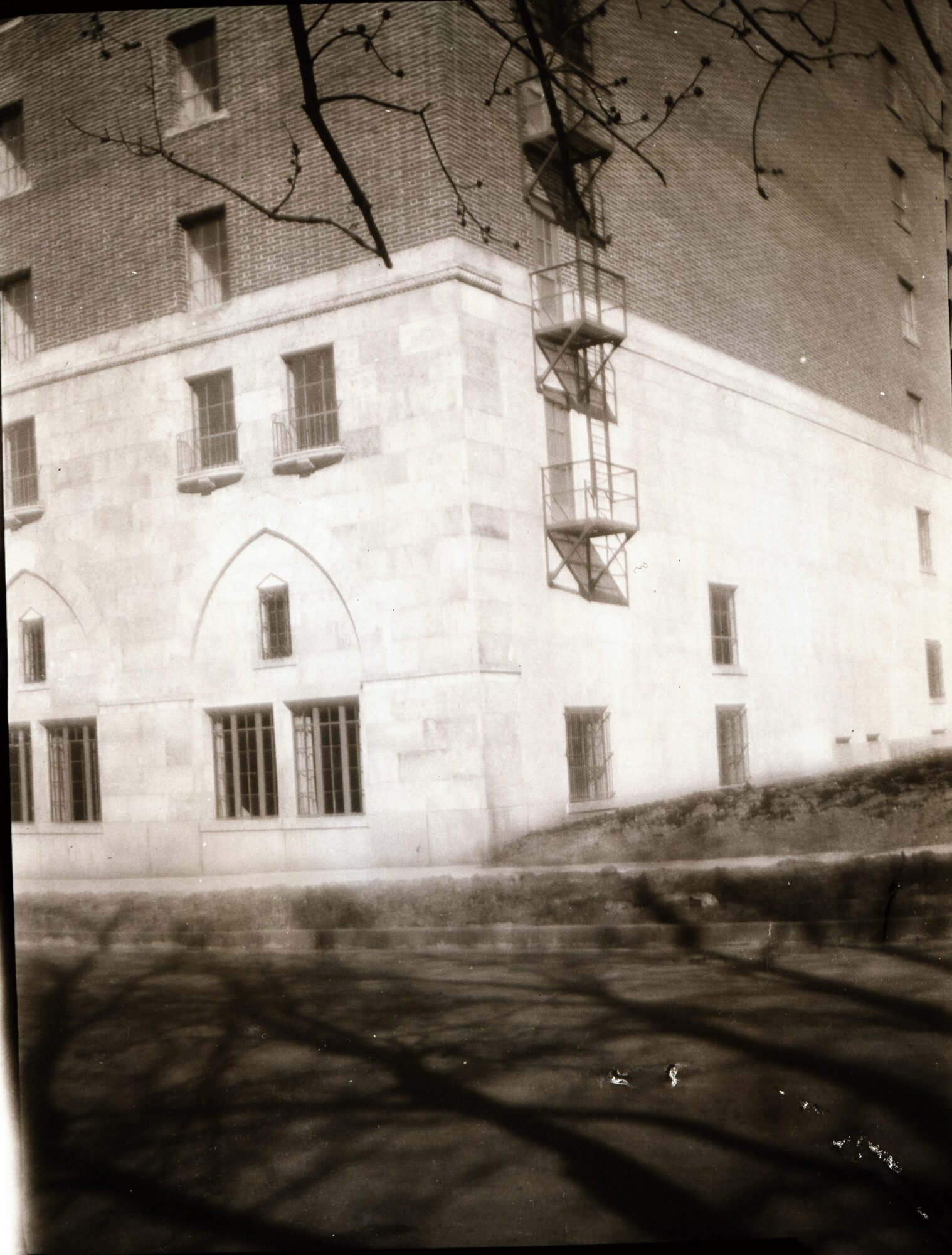
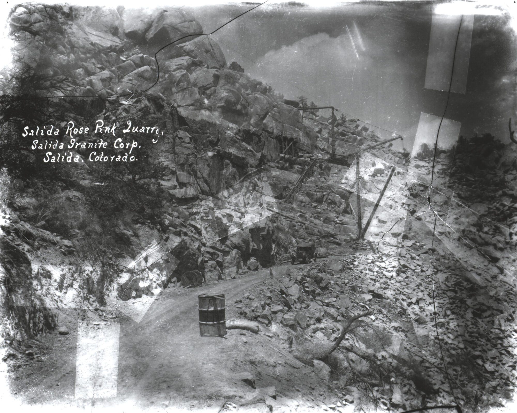
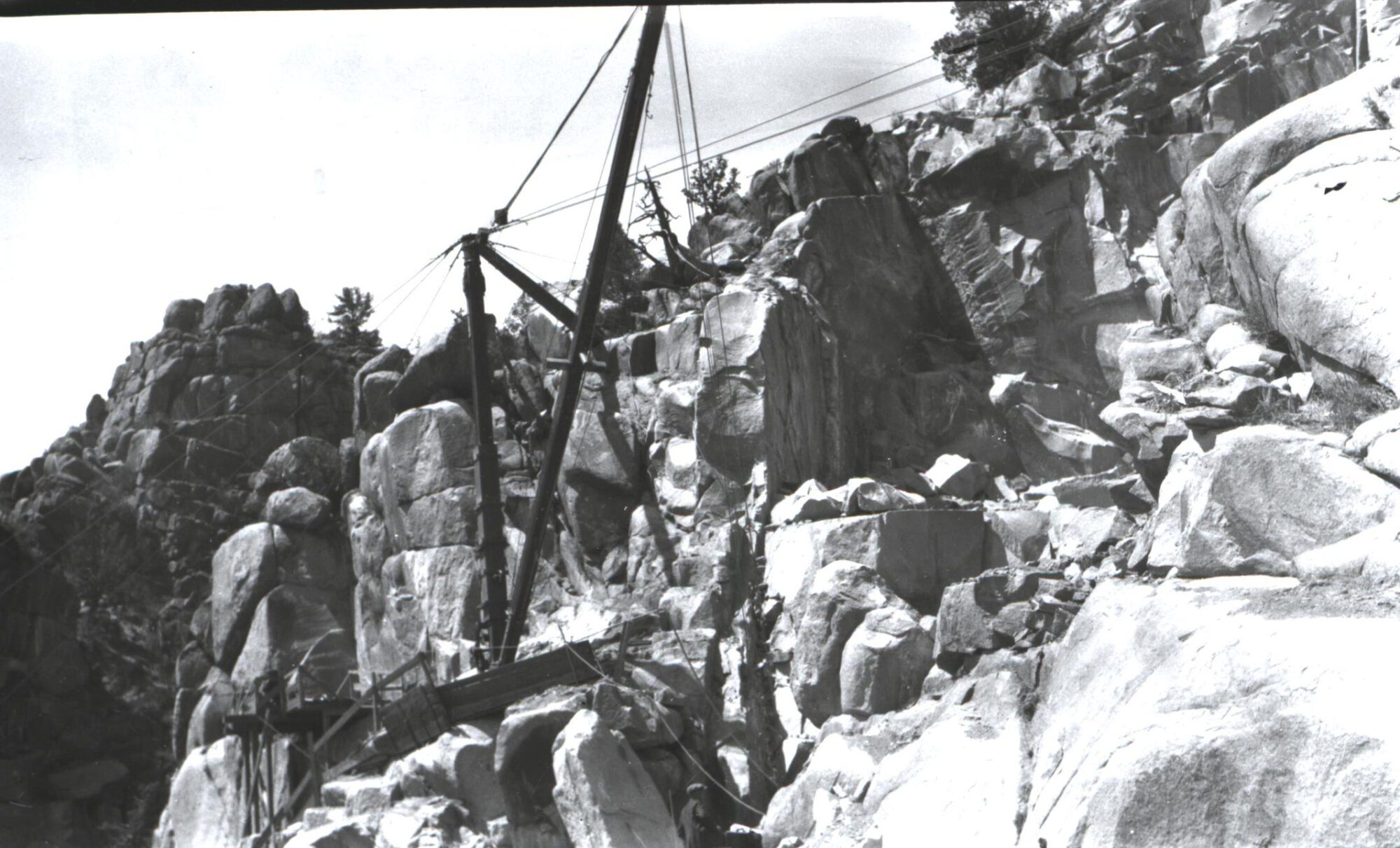
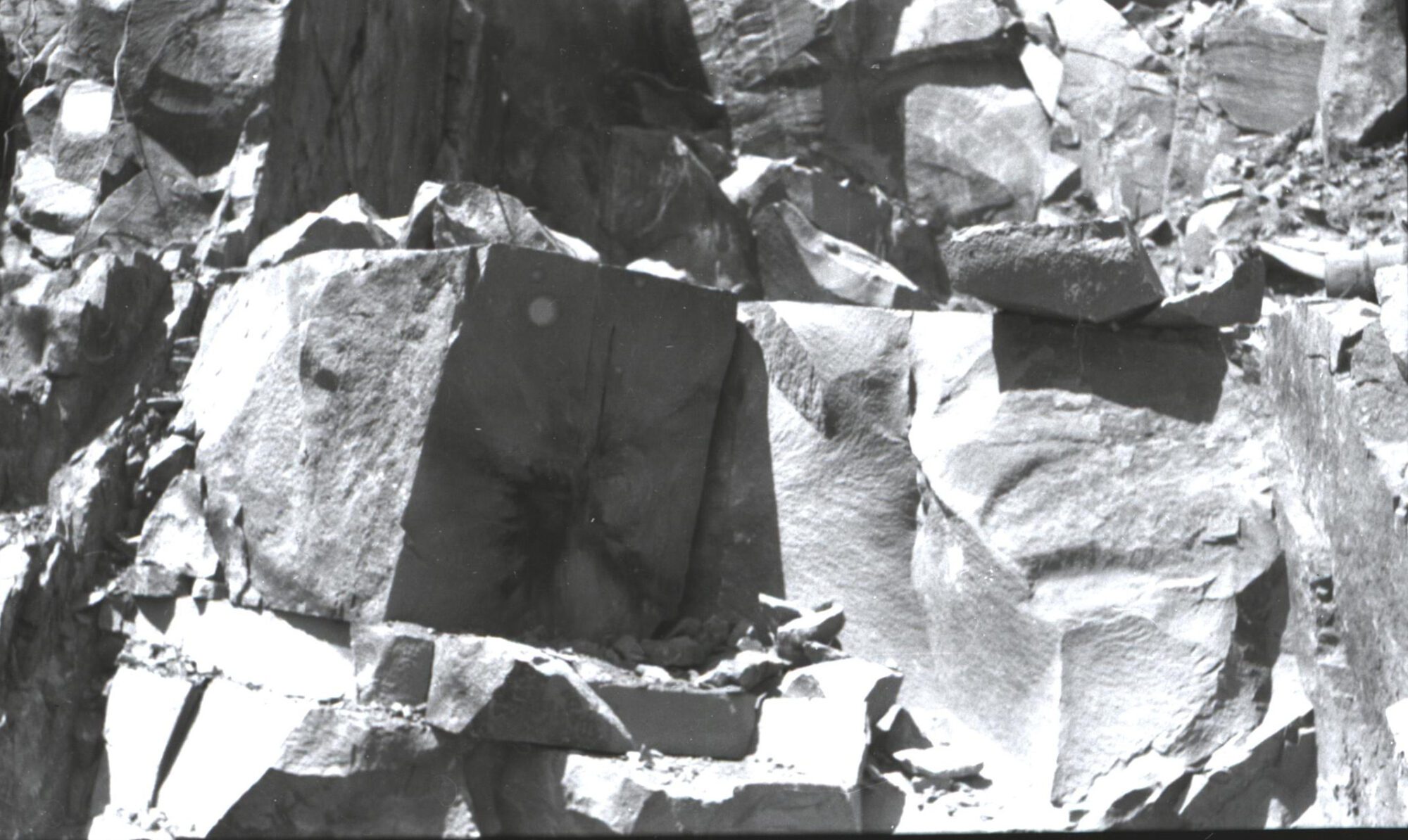
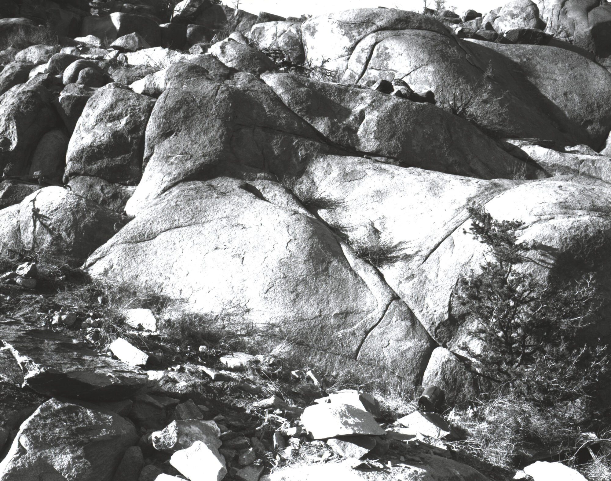
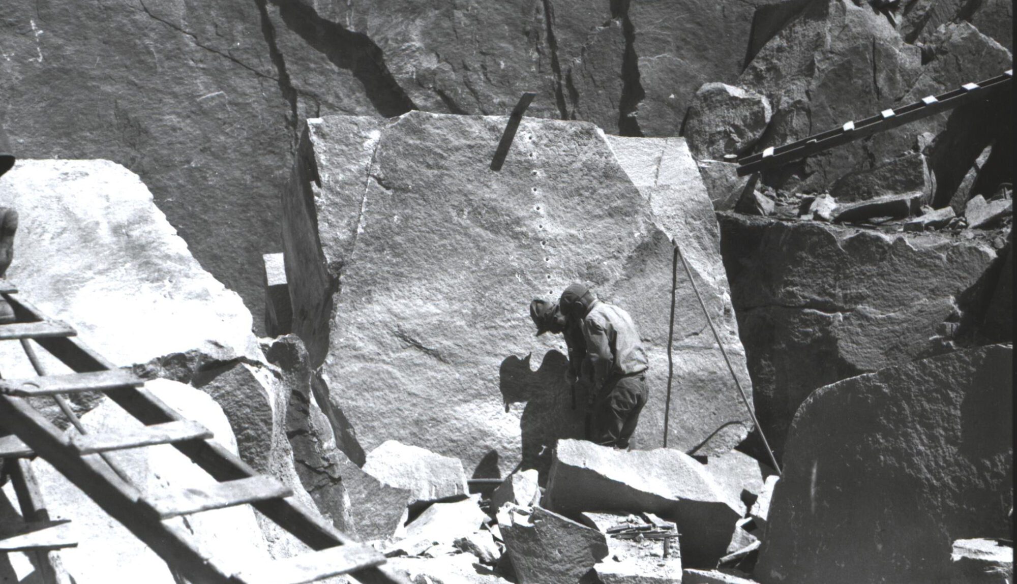
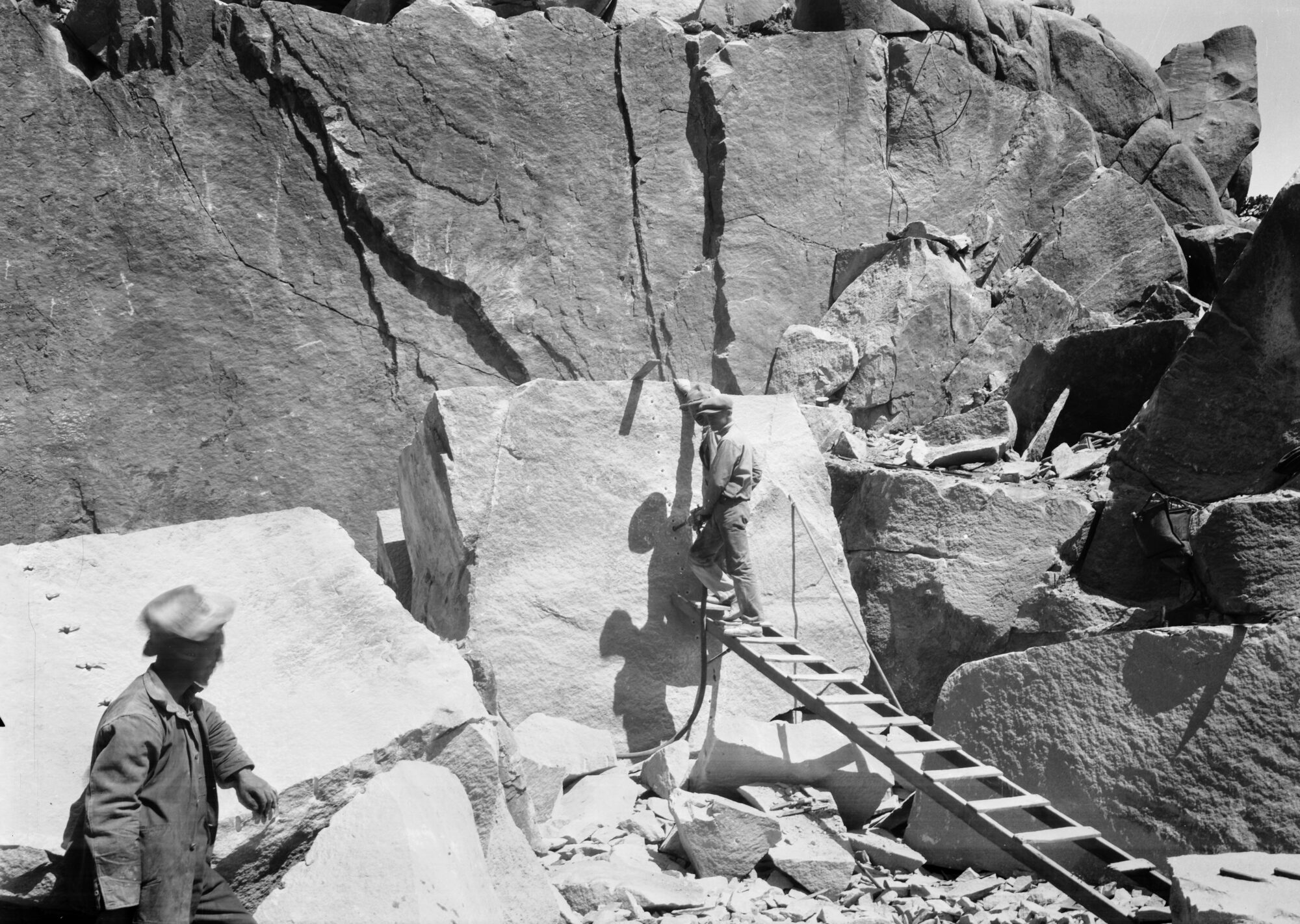
The following images were reproduced from negatives. Also part of the Jimmy Blouch Collection.
The Weicker Depository in Denver, Colorado:
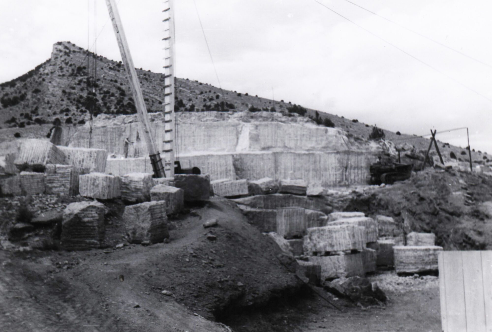
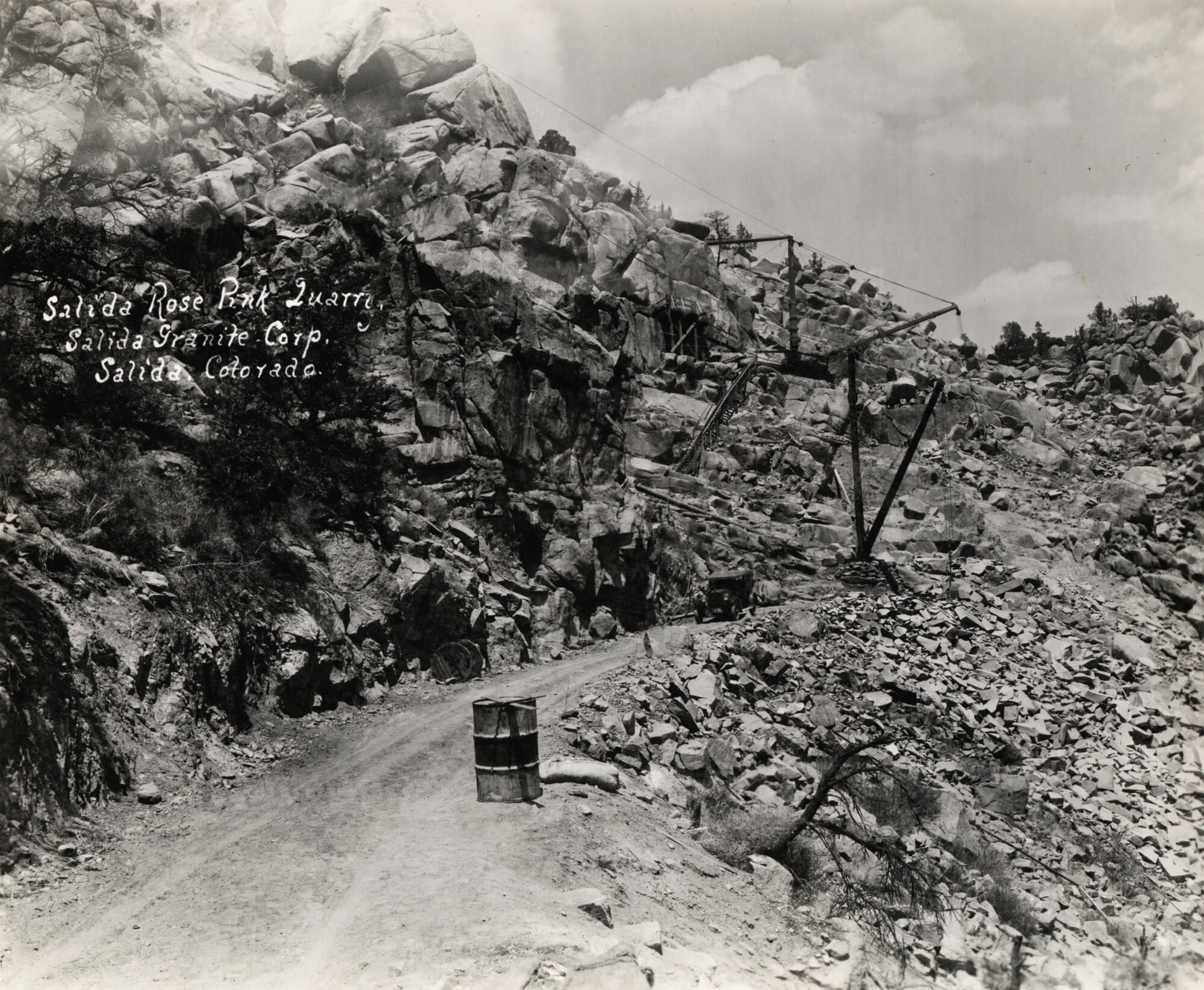
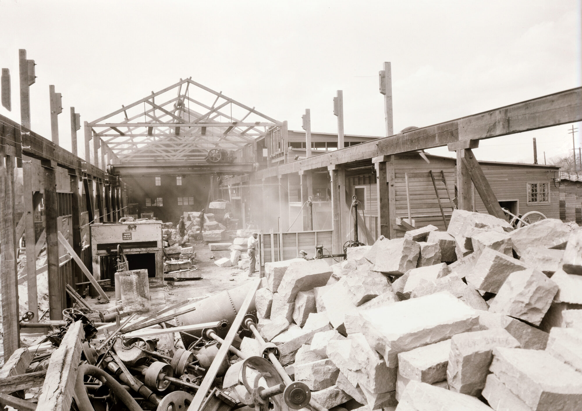
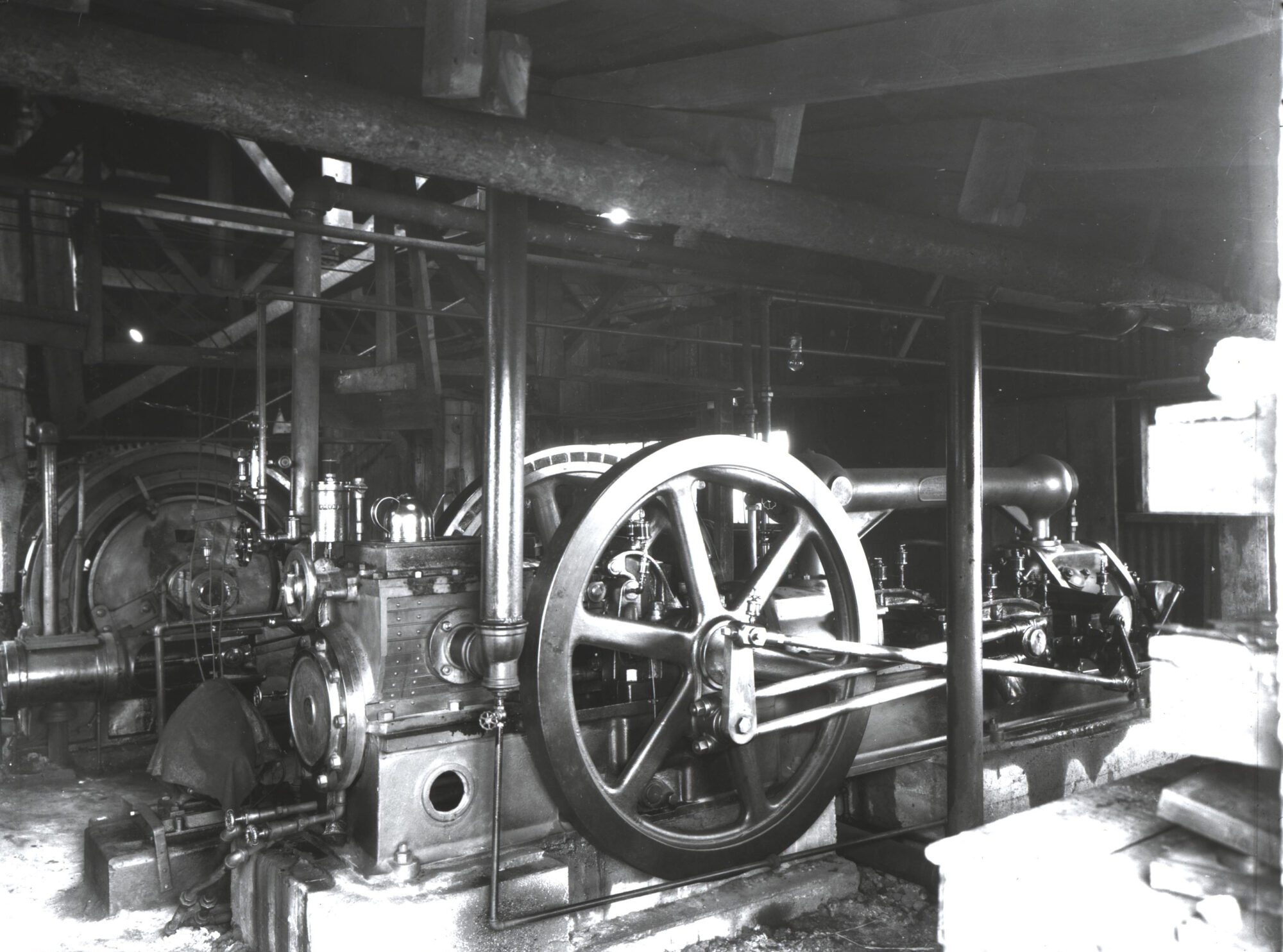
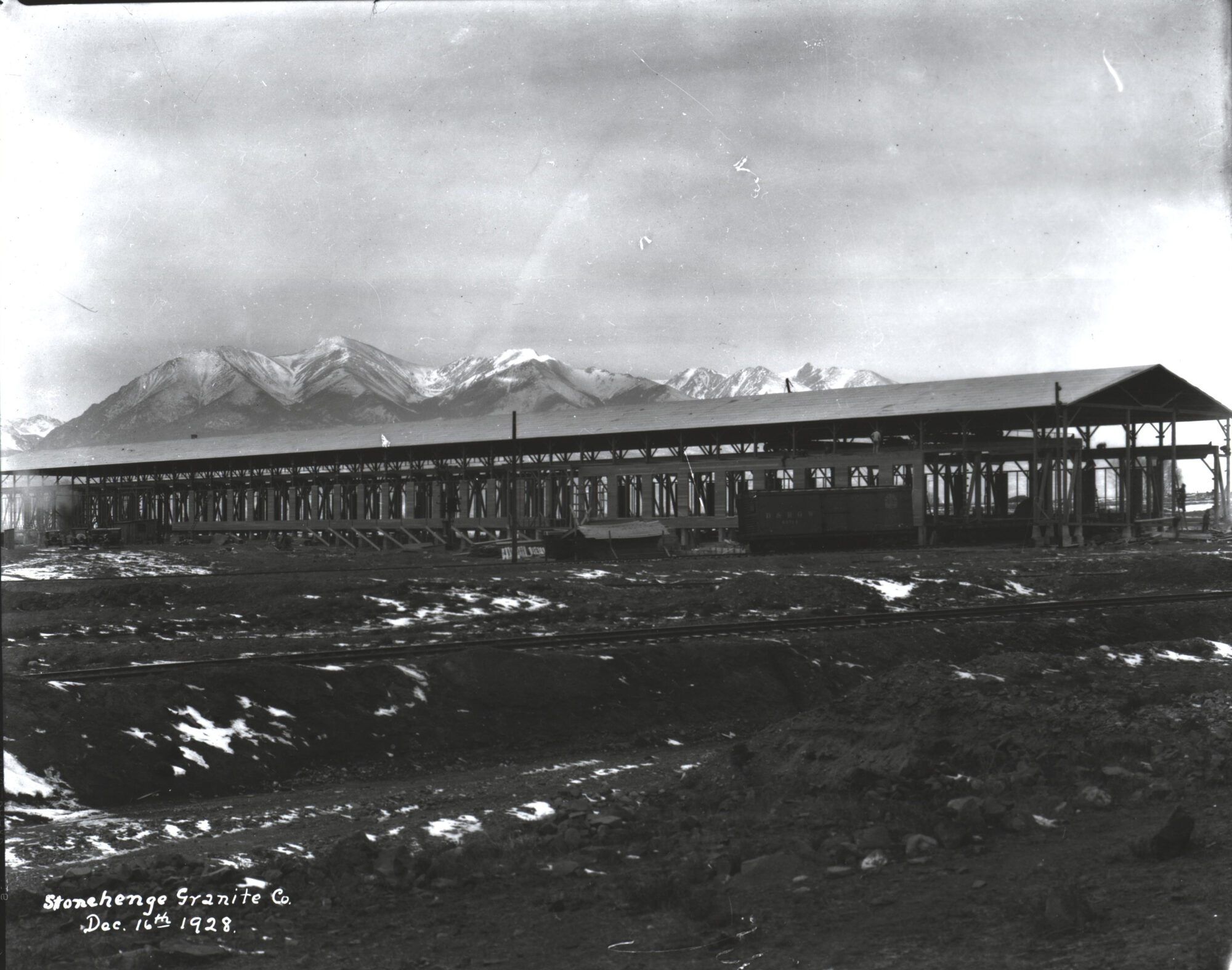
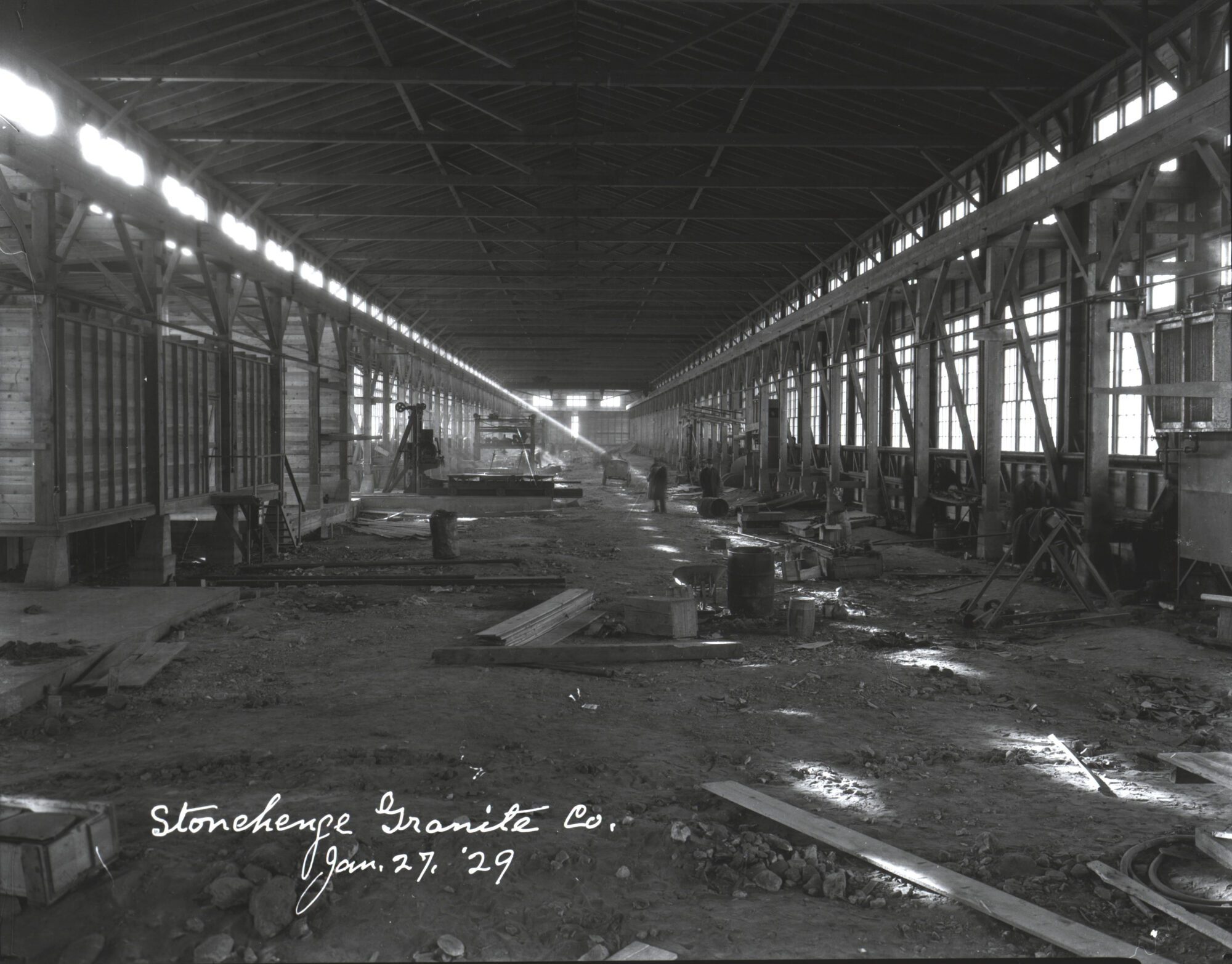
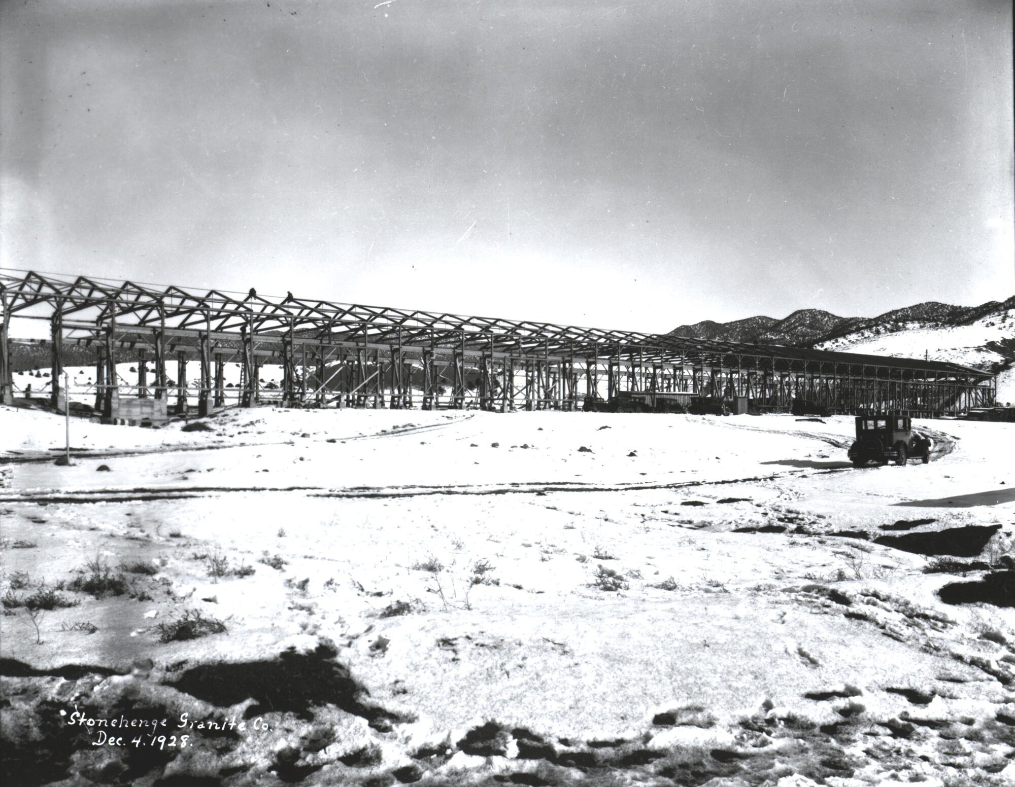
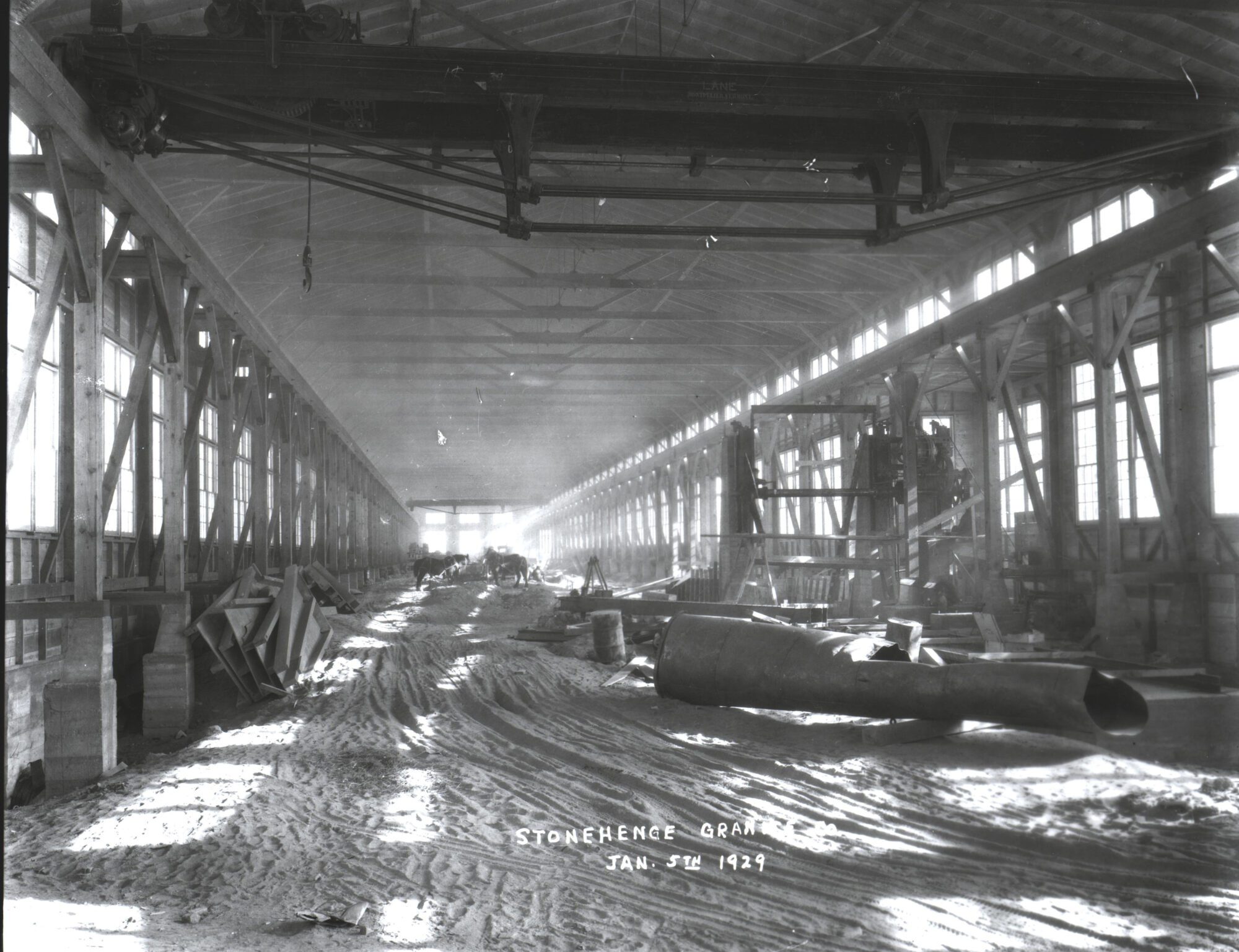
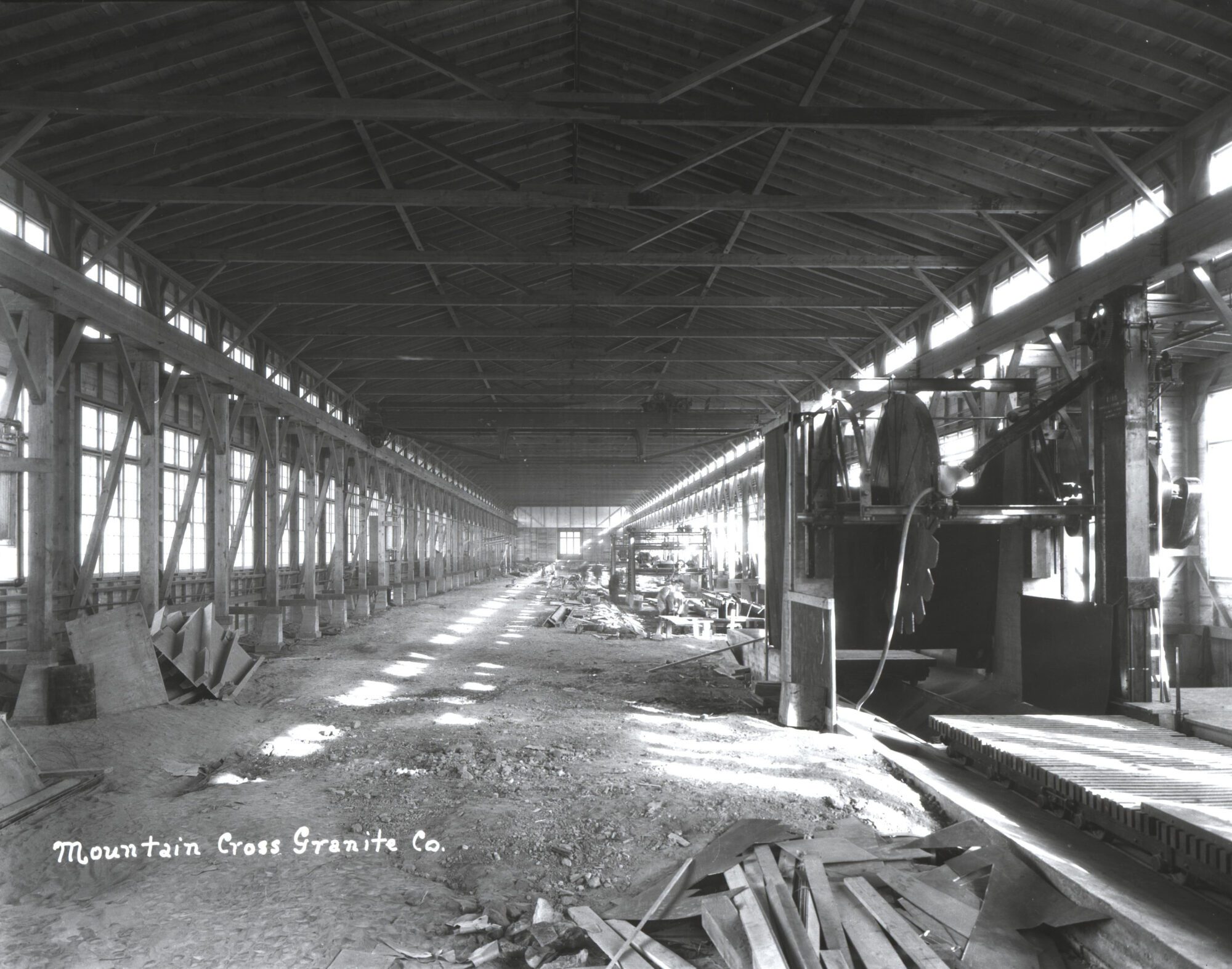
The Salida Museum has a large collection of images from the Salida Granite Company and the Stonehenge Granite Company (later Mountain Cross), which was operational in the 1920s.
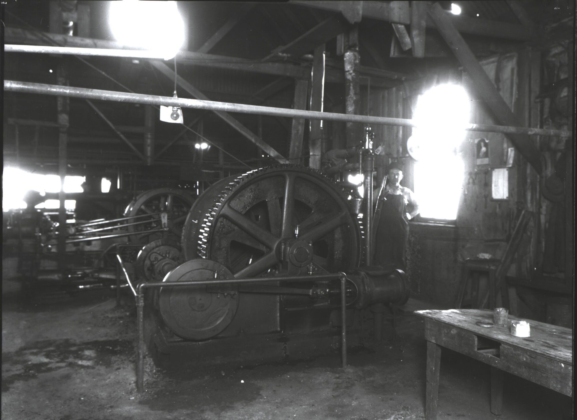
Interior of the Salida Granite Company:
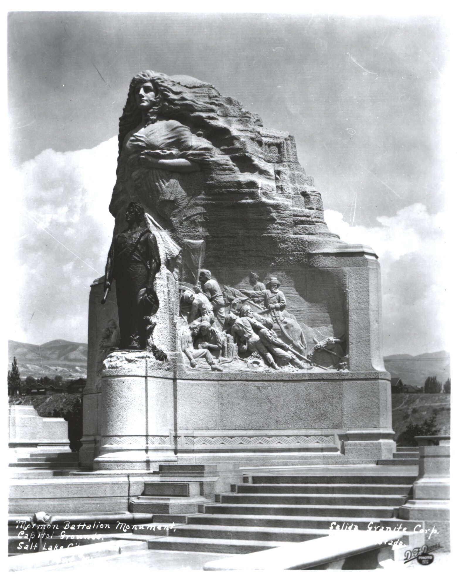
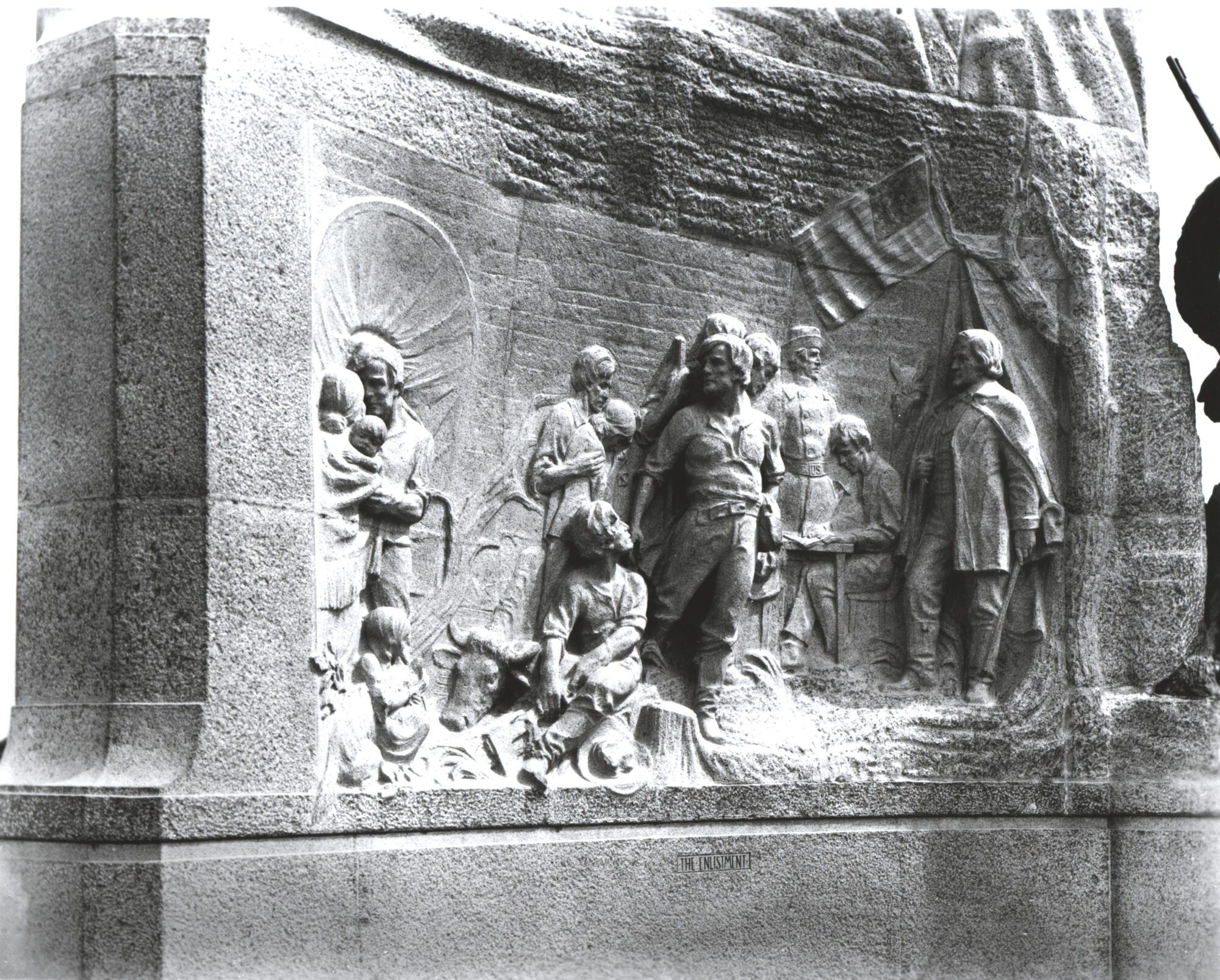
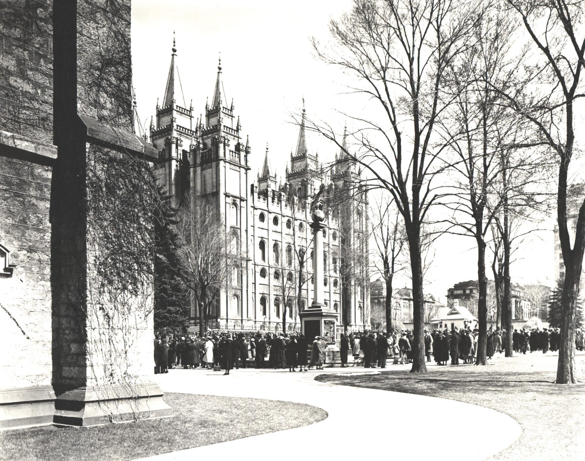
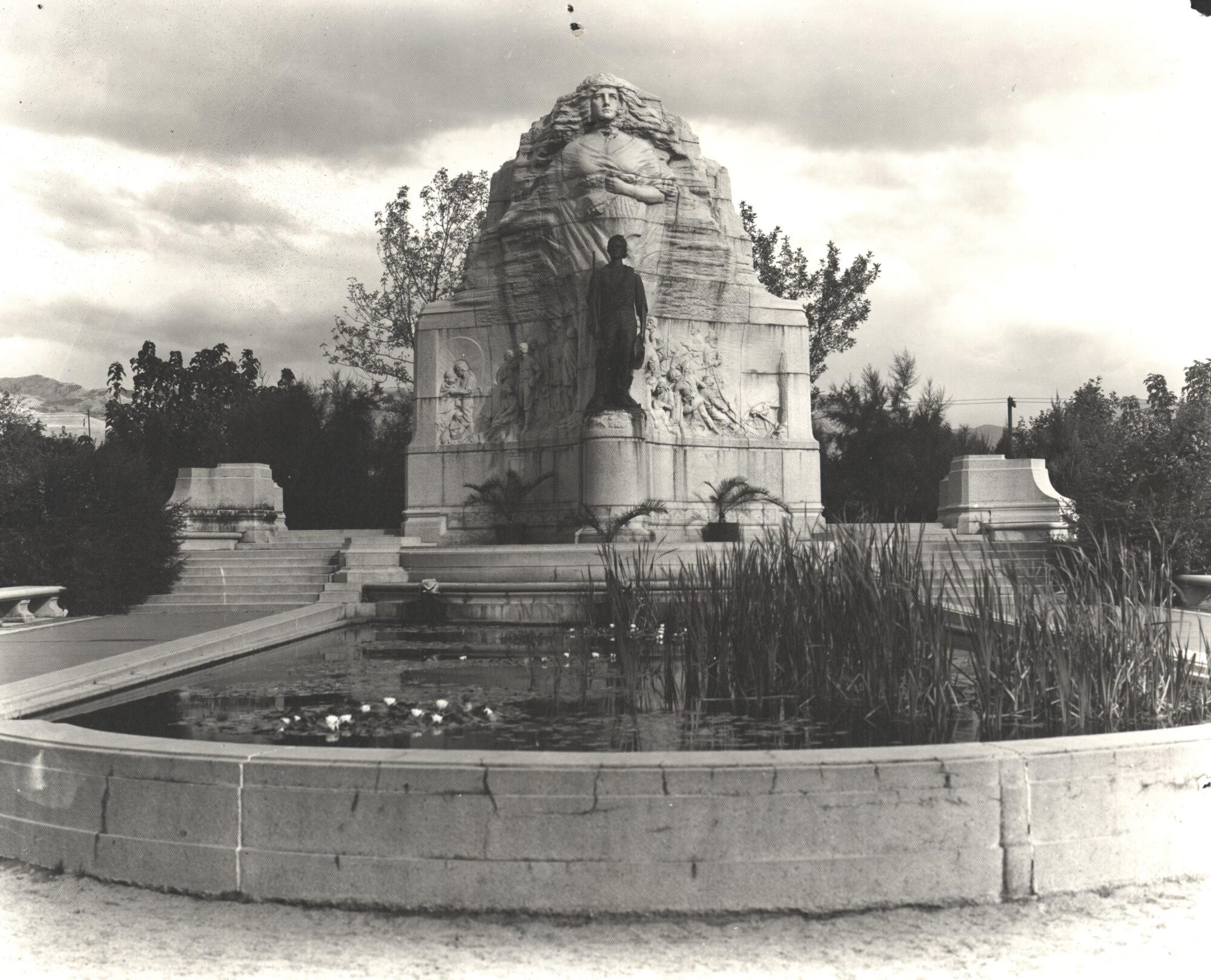
The Mormon Battalion Monument commissioned in 1924 and made with Salida Rose Pink granite:
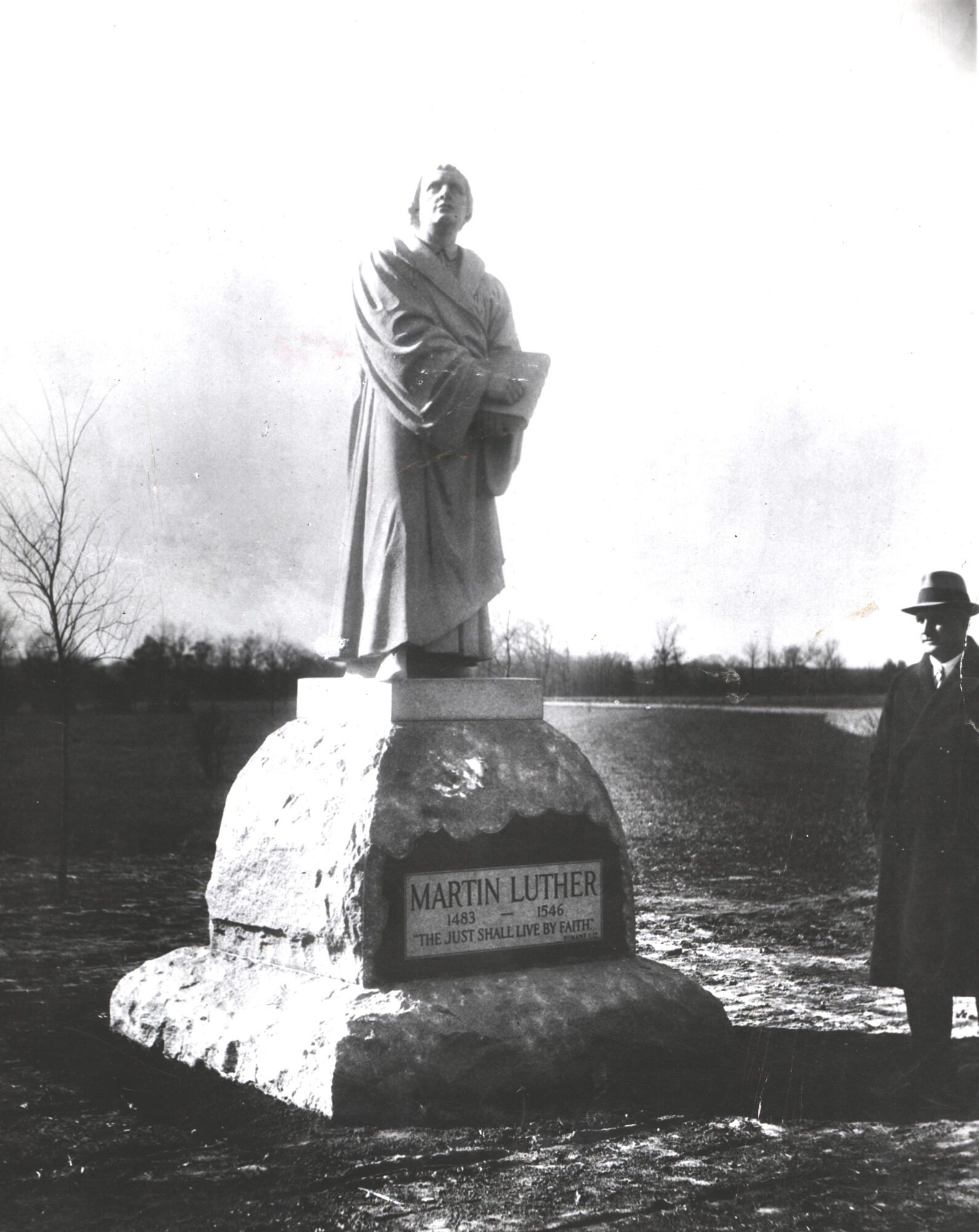
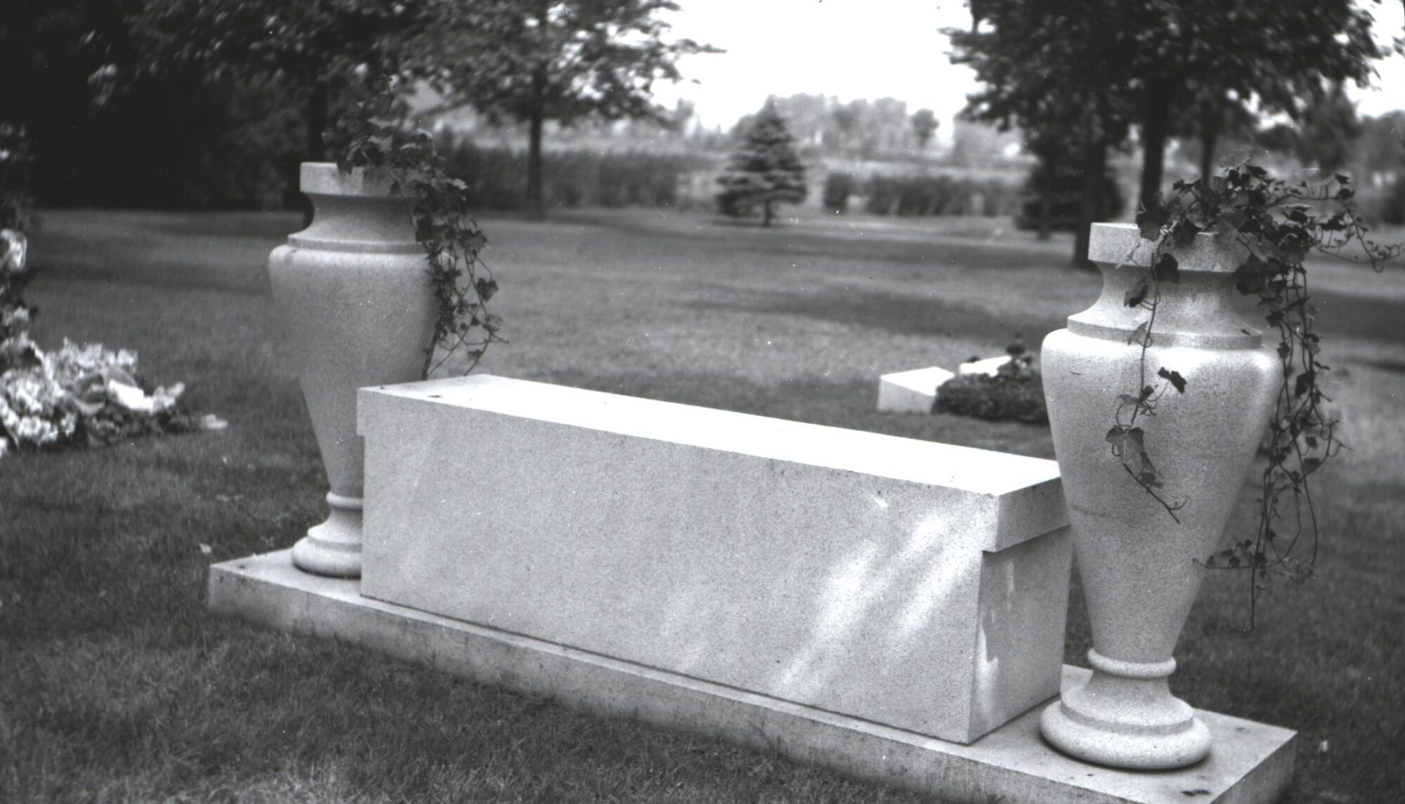
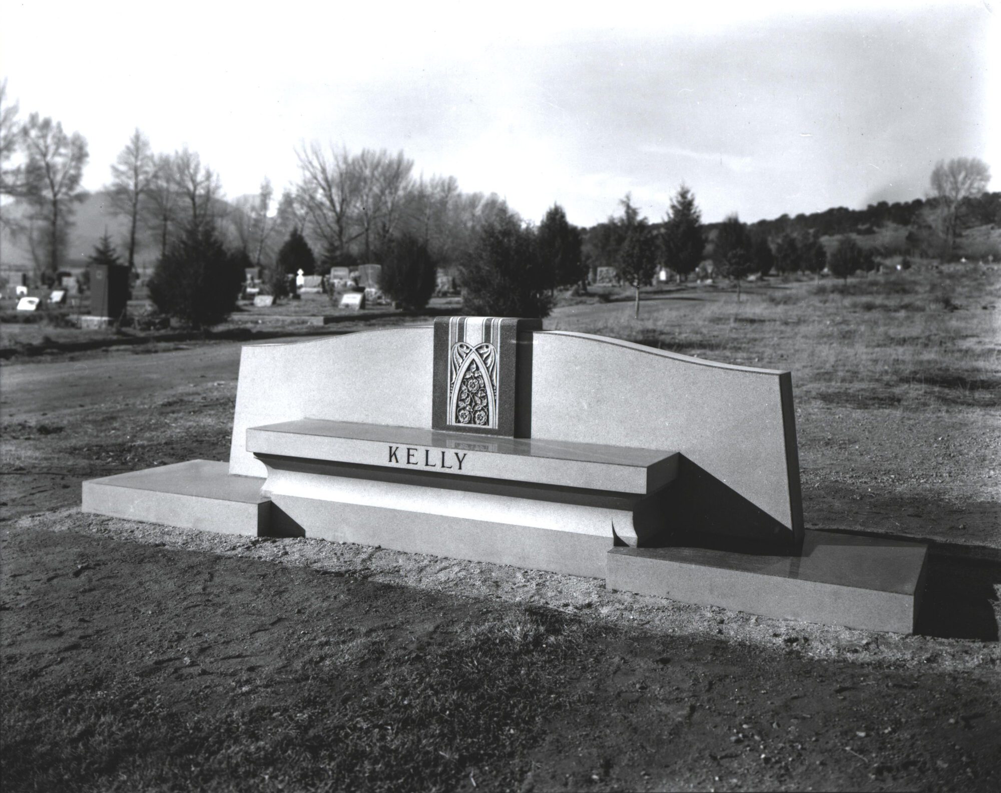
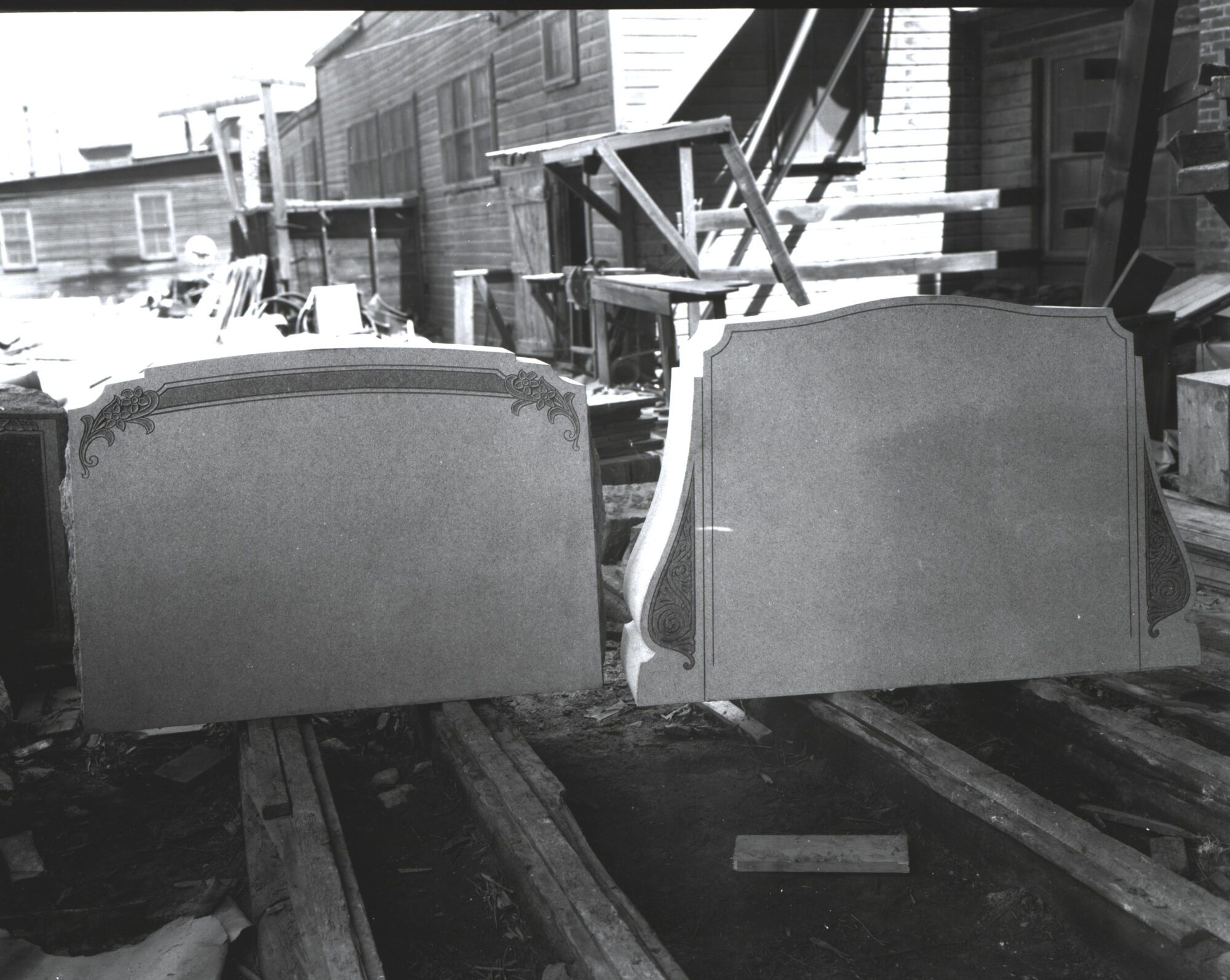
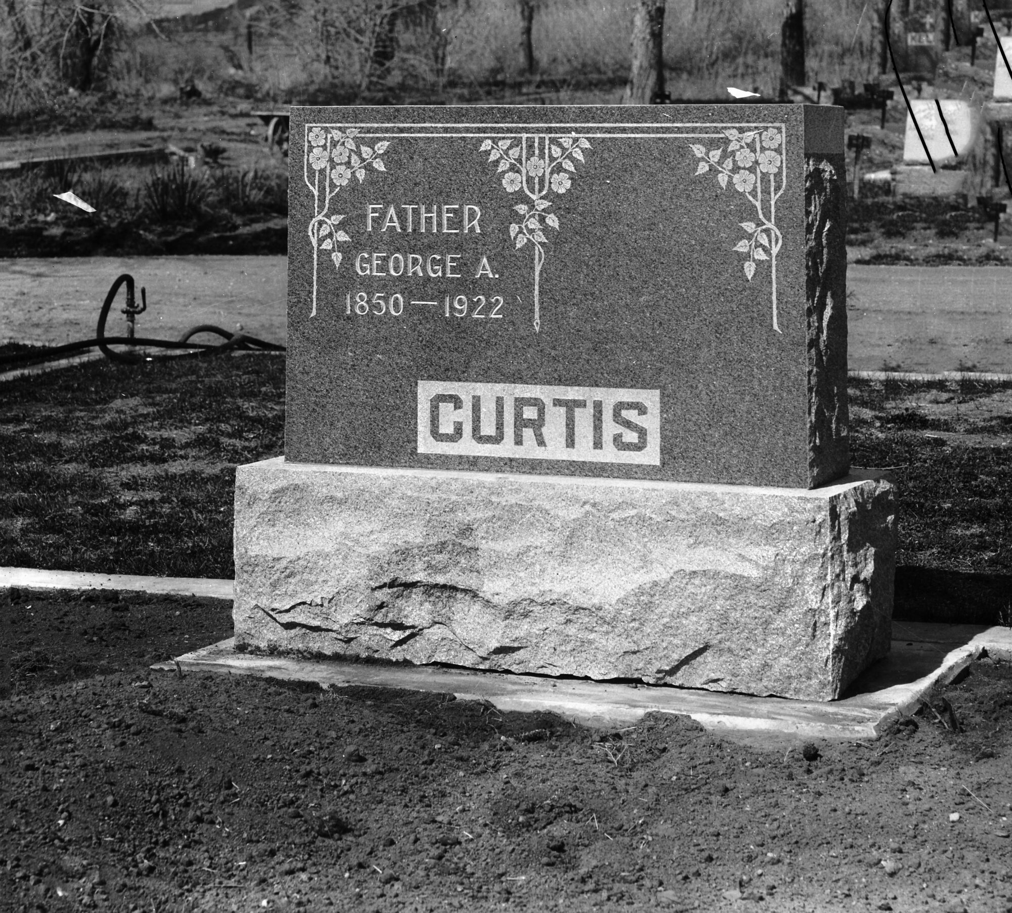
Images of finished Salida granite headstones:
Stonehenge Granite Company (later Mountain Cross) located just west of Tenderfoot Hill:

